 306 KB
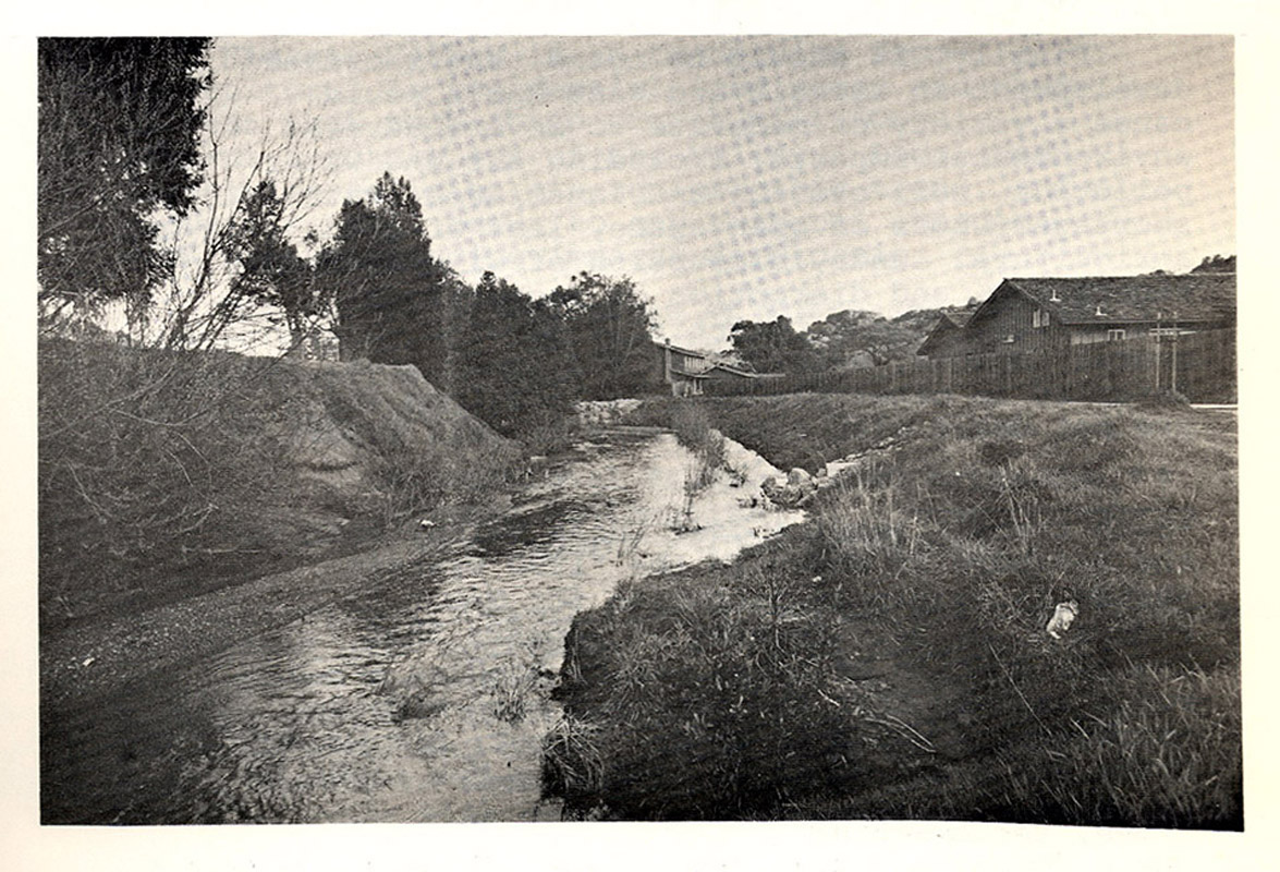
This is a picture of Miller Creek, flowing through areas of residential development. Photo taken from Environmental Science Associates, 1973.
 340 KB
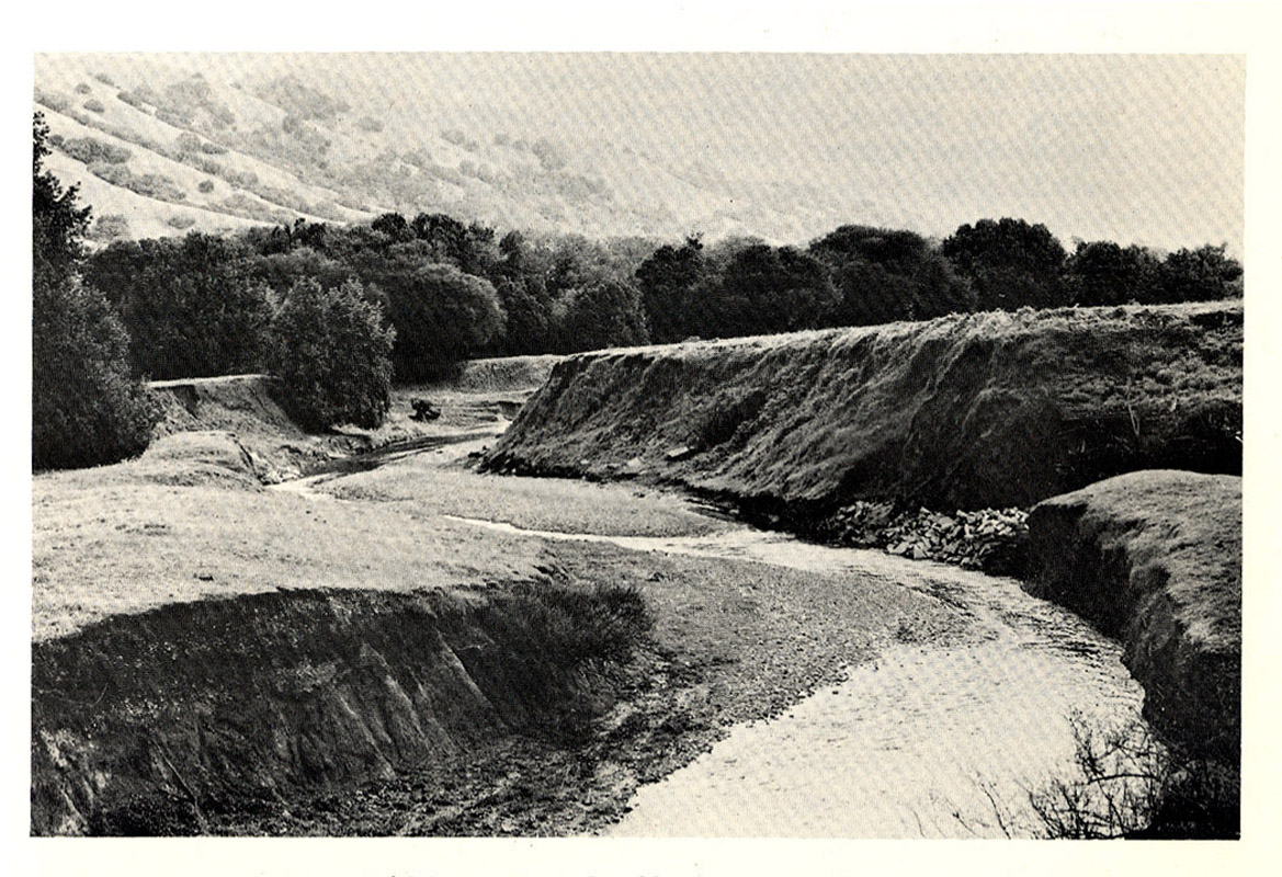
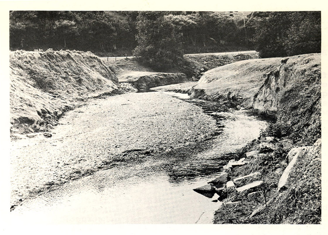
The picture shows the Miller Creek flats, upstream of the (former?) Luiz Ranch. Photo taken from Environmental Science Associates, 1973.
 342 KB
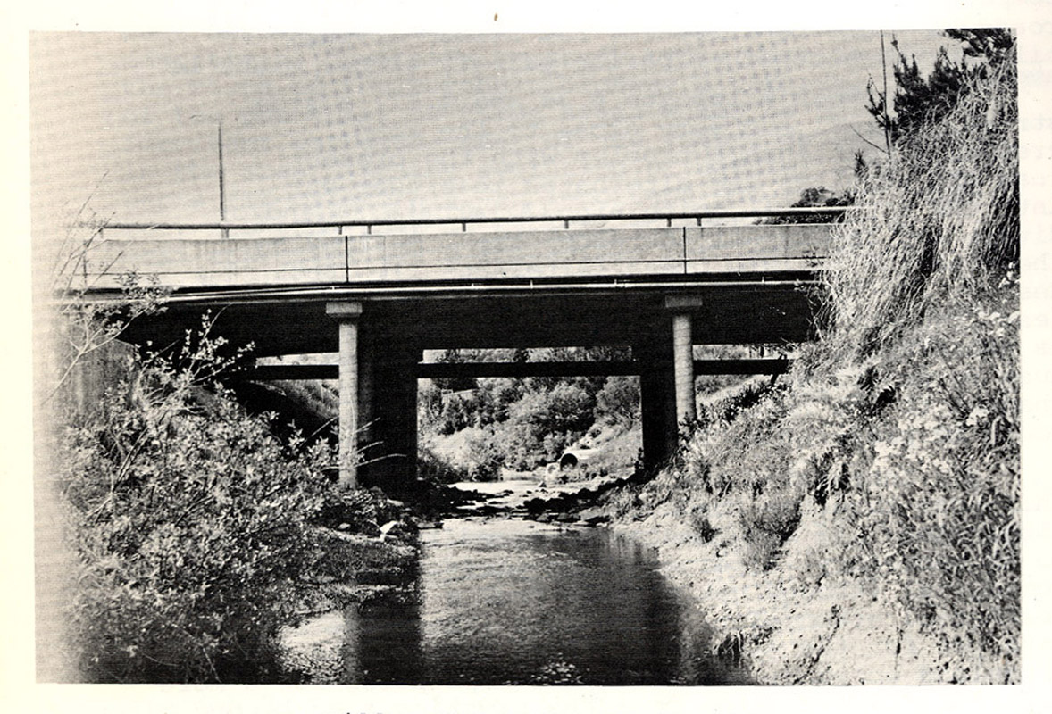
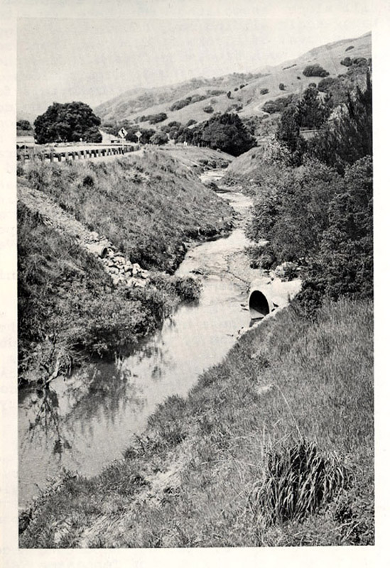
This picture shows Miller Creek at the Mt. McKinley Road bridge. Photo taken from Environmental Science Associates, 1973.
 167 KB
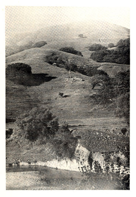
This is the north side of Lucas Valley, with Miller Creek in the foreground. Photo taken from Environmental Science Associates, 1973.
 176 KB
This picture shows Miller Creek at the west end of the Lucas Valley development. Photo taken from Environmental Science Associates, 1973.
 351 KB
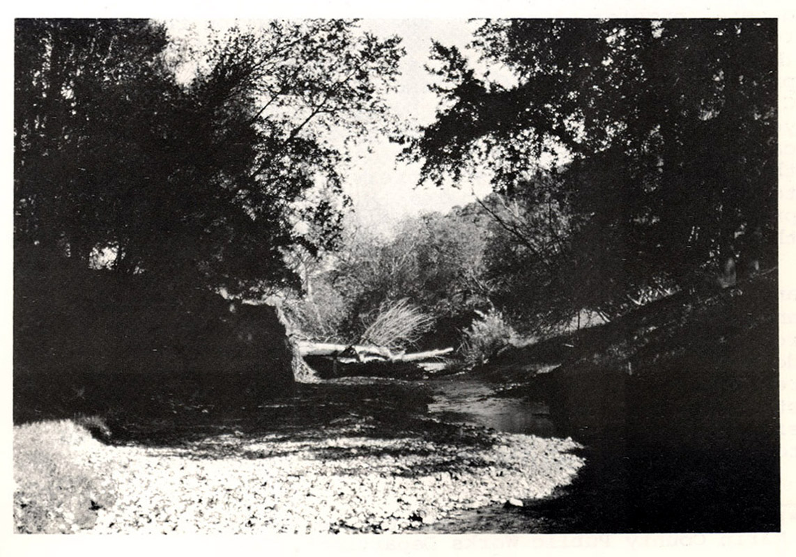
This is a picture of Miller Creek, west of the (former?) Luiz Ranch. Photo taken from Environmental Science Associates, 1973.
 292 KB
This is a another picture of Miller Creek, west of the (former?) Luiz Ranch. Photo taken from Environmental Science Associates, 1973.