 53 KB
53 KB
This map shows the locations of water quality sampling conducted in the Petaluma River watershed in 1998 by Petaluma Tree Planters. (Source: Petaluma Tree Planters, 1999)
|
Area/Topic | Bibliography | Background | Hypotheses | Home |
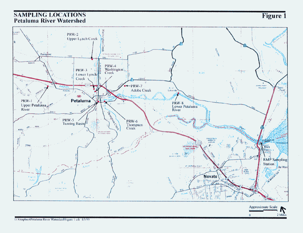
Photo Database Series Monitoring: WQ- Map of chlorpyrifos sampling stations in Upper Petaluma River Watershed 1998
53 KB
This map shows the locations of water quality sampling conducted in the Petaluma River watershed in 1998 by Petaluma Tree Planters. (Source: Petaluma Tree Planters, 1999)
| www.krisweb.com |