| Area |
Regional |
| Topic |
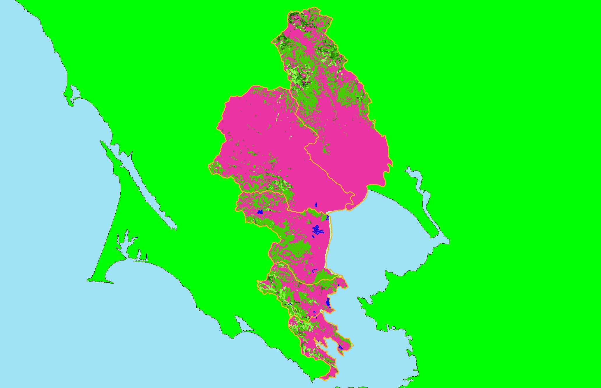
Map: 1H. USFS Vegetation Size East Marin-Sonoma |
|
This is a map of 1999 USFS Landsat-based vegetation size data for the KRIS East Marin-Sonoma project area. The vegetation classification is accurate at a
one-hectare scale (approximately 11 pixels) and is suitable for stand classification. Data provided by the U.S. Forest Service Spatial Analysis Lab in Sacramento,
CA.
|
|
|
 |
 |
To view metadata about a map layer, click on a link in the table below.
| Name of Layer in Map Legend | Metadata File Name |
|---|
| Subbasins (no labels) | subbasins.shp.txt |
| Frame Project Outline | Unavailable |
| Lakes and Reservoirs (Marin only) | Unavailable |
| USFS Vegetation Size (1999) | vegsize99.tif.txt |
| Project Background | Unavailable |
If you obtain KRIS on a CD and install it on your hard drive as a desktop program, you will have access to increased map capabilities such as zooming in/out, turning layers on/off, adding layers and changing legends.
