| Area |
Corte Madera Creek |
| Topic |
Tour: Monitoring Sites Sleepy Hollow Creek 1999 |
 Click on image to enlarge (105K). Click here to display a larger version (448K).
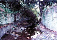
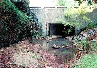
Habitat typing site SH-001, located just upstream of San Anselmo Creek, contained a lateral scour pool associated with a concrete wall. This portion of creek was generally not suitable for salmonids (Rich, 2000). Photo taken and habitat typing conducted by A.A. Rich and Associates on November 16, 1999.
 Click on image to enlarge (100K). Click here to display a larger version (458K).
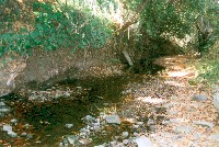
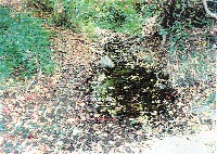
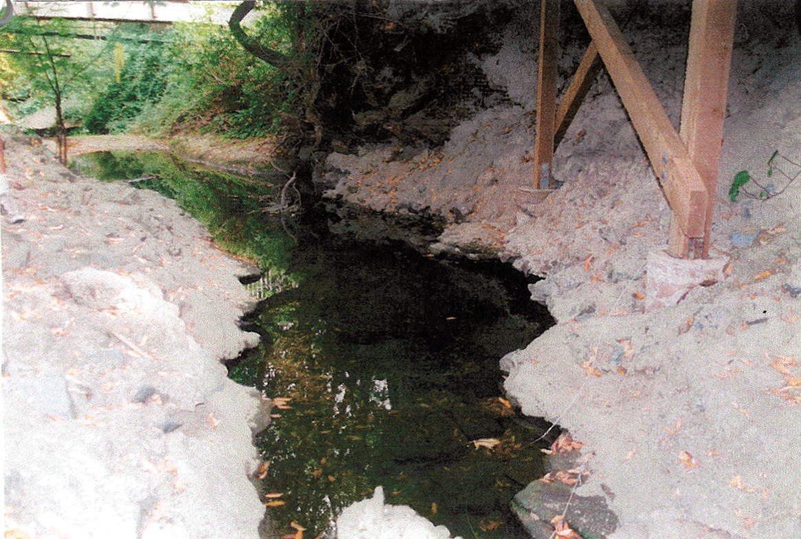
Habitat typing site SH-024, located between Morningside Drive and Broadmoor Avenue, contained a lateral scour pool with an average depth of 0.1 meters and associated with bank cut. This reach did not appear suitable for salmonids (Rich, 2000). This area was photographed and habitat typed on October 22, 1999 by A.A. Rich and Associates.
 Click on image to enlarge (83K). Click here to display a larger version (446K).
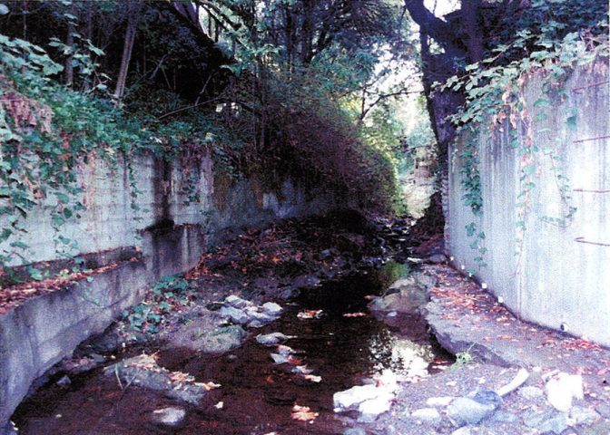
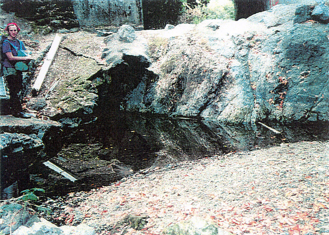
Habitat typing site SH-055, located between Arroyo Avenue and #222 Butterfield Road, contained a lateral scour pool with an average depth of 0.26 meters and associated with concrete and riprap. This area was photographed and habitat typed on September 26, 1999 by A.A. Rich and Associates.
 Click on image to enlarge (125K). Click here to display a larger version (587K).
Habitat typing site SH-108, located between Caleta Avenue and Deer Hollow Road, contained dry habitat and spawning gravel. Although a large portion of this reach was dry during the survey, it contained good spawning gravels and rearing pools with structure (Rich, 2000). This area was photographed and habitat typed on October 1, 1999 by A.A. Rich and Associates.
 Click on image to enlarge (123K). Click here to display a larger version (547K).
Habitat typing site SH-113, also located between Caleta Avenue and Deer Hollow Road, contained a mid-channel pool with an average depth of 0.32 meters and associated with bedrock. This area was photographed and habitat typed on October 1, 1999 by A.A. Rich and Associates.
 Click on image to enlarge (111K). Click here to display a larger version (515K).
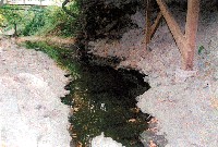
Habitat typing site SH-123, located at Fawn Drive, contained a lateral scour pool with an average depth of 0.1 meters and associated with a concrete bridge. This pool was stagnant and had a rotten smell (Rich, 2000). This area was photographed and habitat typed on October 13, 1999 by A.A. Rich and Associates.
 Click on image to enlarge (140K). Click here to display a larger version (614K).
Habitat typing site SH-128, located between Fawn Drive and #854 and #870 Butterfield Lane, contained a lateral scour pool associated with bank cuts and had only a trickle of water. However, similar to the areas just downstream, the dry sections of this reach contained substrate suitable for spawning steelhead trout (Rich, 2000). This area was photographed and habitat typed on October 13, 1999 by A.A. Rich and Associates.
 Click on image to enlarge (102K). Click here to display a larger version (471K).
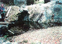
Habitat typing site SH-179, located across from #33 Raven Road, contained a mid-channel pool with an average depth of 0.38 meters. The dam in the picture was approximately 2.5 meters high and impassable to steelhead trout immigration (Rich, 2000). Photo taken and habitat typing conducted by A.A. Rich and Associates on October 20, 1999.
To learn more about this topic click Info Links
To view additional information (data source, aquisition date etc.) about this page, click Metadata

 Click on image to enlarge (105K). Click here to display a larger version (448K).
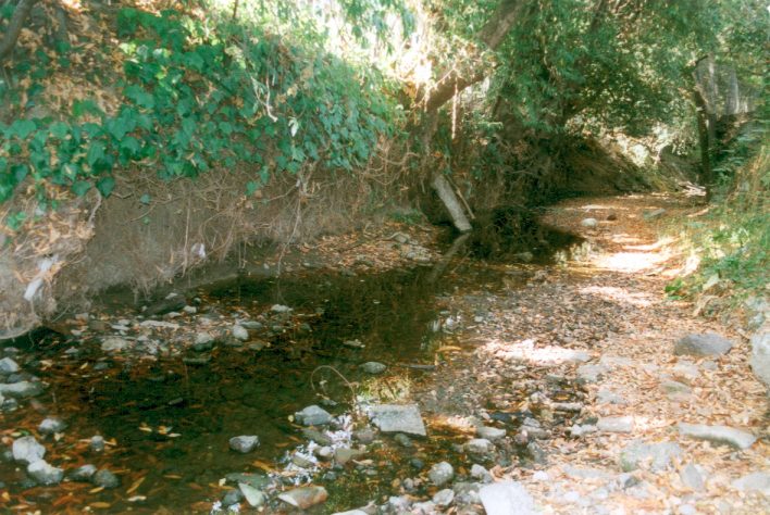 Click on image to enlarge (100K). Click here to display a larger version (458K).
 Click on image to enlarge (83K). Click here to display a larger version (446K).
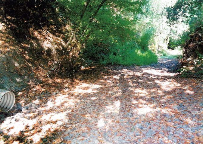 Click on image to enlarge (125K). Click here to display a larger version (587K).
 Click on image to enlarge (123K). Click here to display a larger version (547K).
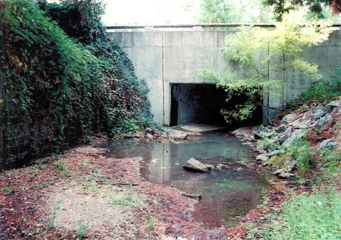 Click on image to enlarge (111K). Click here to display a larger version (515K).
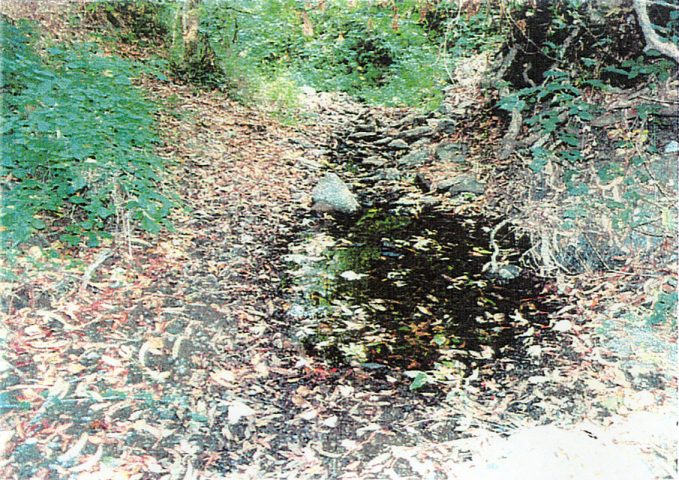 Click on image to enlarge (140K). Click here to display a larger version (614K).
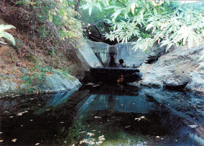 Click on image to enlarge (102K). Click here to display a larger version (471K).
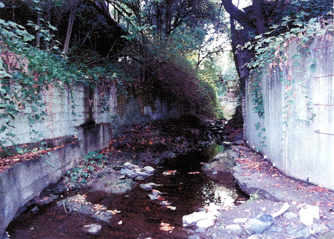