
| Area | Novato and Miller Creeks |
| Topic | Tour: Restoration Novato Flood Control Project Mitigation |
This picture was taken in December 1991 and shows native riparian vegetation along Warner Creek upstream of Diablo Avenue (Reach W-3), planted as part of mitigation for the Novato Flood Control Project constructed by the Marin County Flood Control and Water Conservation District. Work was completed and photo provided courtesy of Prunuske Chatham Inc. and the Marin County Flood Control and Water Conservation District (PCI, 1999).
This photo shows the same reach as Picture #1 during October 1997. Photo provided courtesy of Prunuske Chatham Inc. and the Marin County Flood Control and Water Conservation District (PCI, 1999).
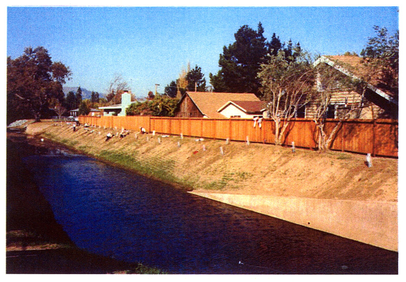
The area of Warner Creek downstream of McClay Road was also planted with native riparian vegetation as mitigation for the Novato Flood Control Project. Photo taken during September 1996 and provided courtesy of Prunuske Chatham Inc. and the Marin County Flood Control and Water Conservation District (PCI, 1999).
This photo shows the same reach as Picture #3 during November 1999. Photo provided courtesy of Prunuske Chatham Inc. and the Marin County Flood Control and Water Conservation District (PCI, 1999).
As a part of the mitigation mentioned in the previous pictures, these wetlands were constructed near Deer Island at Olive Avenue during summer 1993. This picture was taken in summer 1994 and provided courtesy of Prunuske Chatham Inc. and the Marin County Flood Control and Water Conservation District (PCI, 1999).
Here is a picture of the constructed wetlands during May 1997. Photo provided courtesy of Prunuske Chatham Inc. and the Marin County Flood Control and Water Conservation District (PCI, 1999).
This cross-levee and adjacent pond were constructed to increase flood storage capacity in fall 1990 by Prunuske Chatham Inc. (PCI) for Novato Flood Control Project mitigation. Photo provided courtesy of PCI and the Marin County Flood Control and Water Conservation District (PCI, 1999).
 Click on image to enlarge (267K).
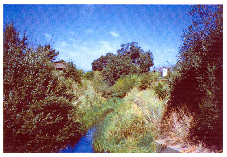 Click on image to enlarge (291K).
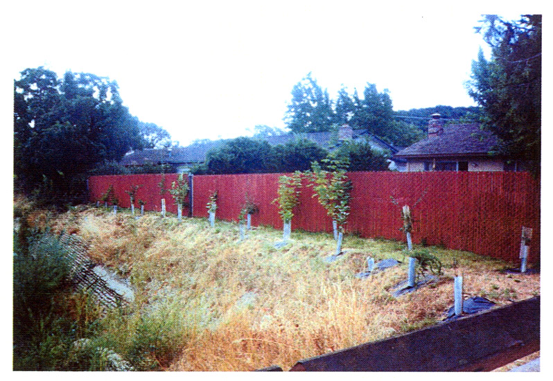 Click on image to enlarge (249K).
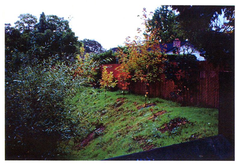 Click on image to enlarge (260K).
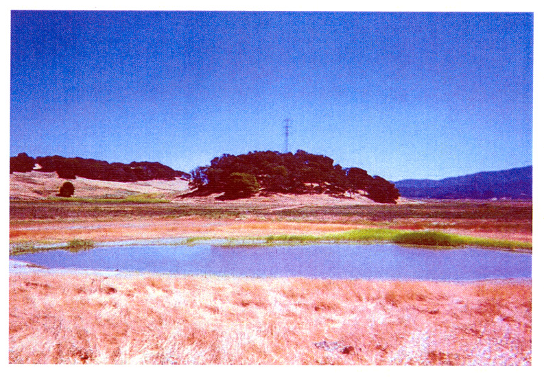 Click on image to enlarge (312K).
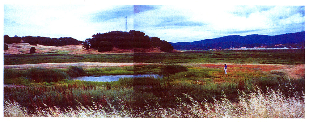 Click on image to enlarge (243K).
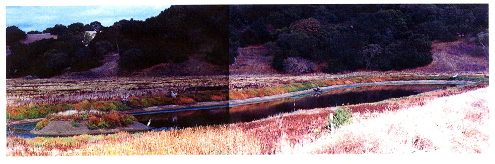 Click on image to enlarge (170K).
To learn more about this topic click Info Links
To view additional information (data source, aquisition date etc.) about this page, click Metadata
| www.krisweb.com |