| Area |
Novato and Miller Creeks |
| Topic |
Tour: General Conditions Novato Creek Lower 2000-2002 |
 Click on image to enlarge (82K). Click here to display a larger version (411K).
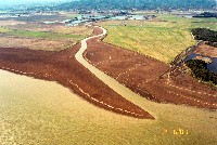
This picture shows the mouth of Novato Creek at San Pablo Bay and was taken on February 6, 2001. The development Bel Marin Keys can be seen in the background. Photo courtesy of Sue Lattanzio, Friends of Novato Creek.
 Click on image to enlarge (99K). Click here to display a larger version (473K).
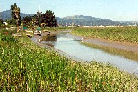
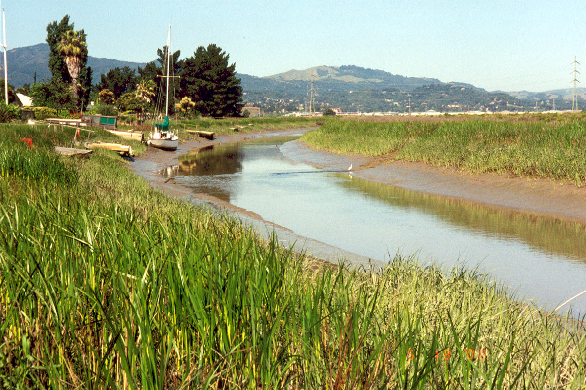
This image was taken in the lower reaches of Novato Creek near Montego Key on May 18, 2000. A sanitary outfall discharge pump is located in the middle of the picture next to the bird standing at the right edge of the creek. Photo courtesy of Sue Lattanzio, Friends of Novato Creek.
 Click on image to enlarge (124K). Click here to display a larger version (546K).
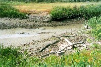
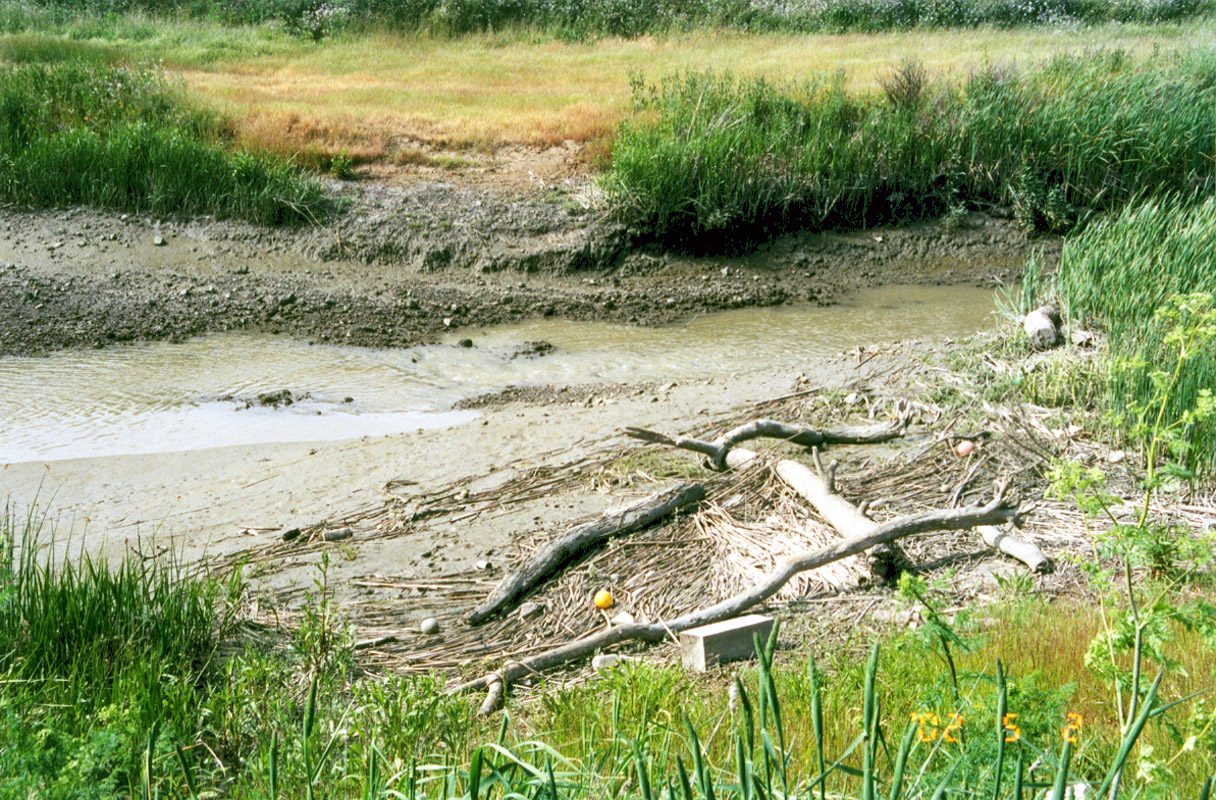
This image was taken in the tidal area of Novato Creek downstream of the dredged sections on February 5, 2002. Photo courtesy of Sue Lattanzio, Friends of Novato Creek.
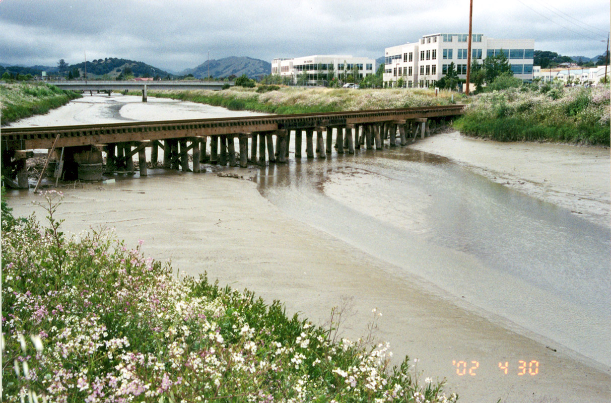
 Click on image to enlarge (86K). Click here to display a larger version (386K).
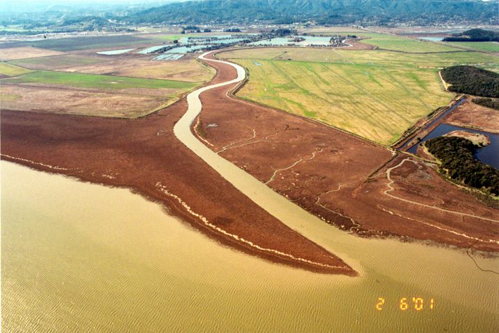
This image was taken at the northern end of the tidal area of Novato Creek in the dredged section, upstream of the previous picture, on April 30, 2002. Highway 101 can be seen in the background. Photo courtesy of Sue Lattanzio, Friends of Novato Creek.
To learn more about this topic click Info Links
To view additional information (data source, aquisition date etc.) about this page, click Metadata

 Click on image to enlarge (82K). Click here to display a larger version (411K).
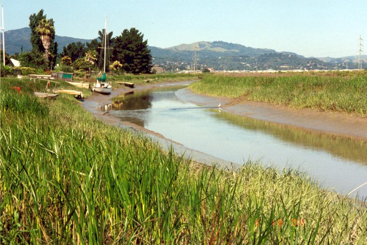 Click on image to enlarge (99K). Click here to display a larger version (473K).
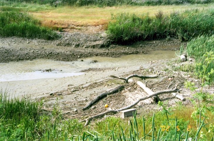 Click on image to enlarge (124K). Click here to display a larger version (546K).
 Click on image to enlarge (86K). Click here to display a larger version (386K).