| Area |
Petaluma River |
| Topic |
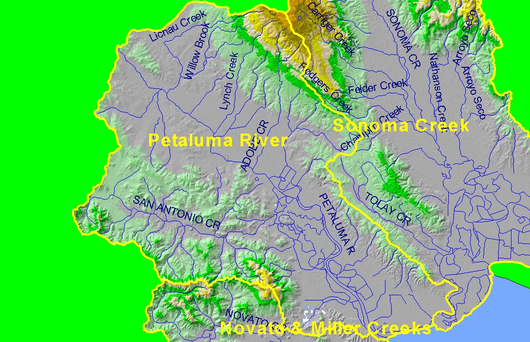
Map: 1B. Hydrography with DEM, Petaluma River Sub-basin |
To view a more detailed version of this map click
here
|
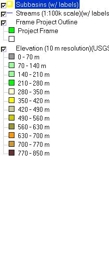
This is a map of the 1:100,000 scale U.S. Geologic Survey hydrography in the Petaluma River sub-basin overlaid on top of a Digital Elevation Model (DEM) showing
the topography of the landscape. The majority of the basin is flat, but the northeast (Sonoma Mountain) and southwest corners of the watershed contain some relief.
|
|
|
 |
 |
To view metadata about a map layer, click on a link in the table below.
If you obtain KRIS on a CD and install it on your hard drive as a desktop program, you will have access to increased map capabilities such as zooming in/out, turning layers on/off, adding layers and changing legends.
