| Area |
Petaluma River |
| Topic |
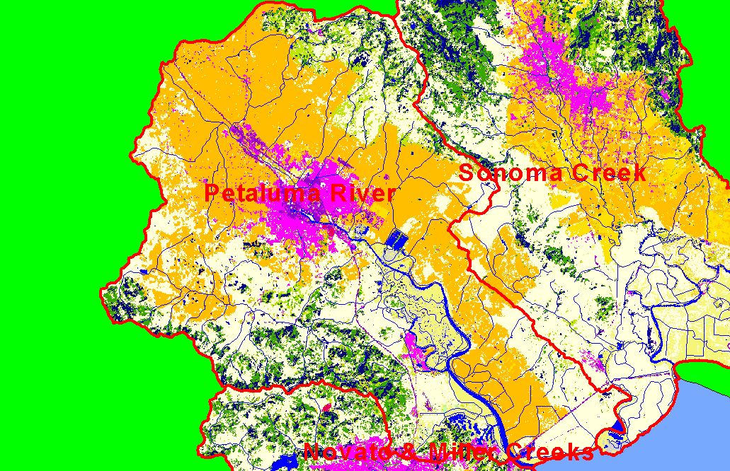
Map: 1C. EPA Landcover/Landuse, Petaluma River Sub-basin |
To view a more detailed version of this map click
here
|
This is a map of EPA Landcover/Landuse in the Petaluma River sub-basin, based on a 1992 Landsat TM satellite image. Flat areas are mostly covered in
agriculture (orange) and residential (hot pink), with some commercial-industrial (purple). The hot pink area in the center of sub-basin is the city of Petaluma. There
is some coniferous forest (blue) and mixed forest (dark green) in the upland areas, especially the San Antonio Creek watershed. Data were provided by the U.S.
Environmental Protection Agency.
|
|
|
 |
 |
To view metadata about a map layer, click on a link in the table below.
| Name of Layer in Map Legend | Metadata File Name |
|---|
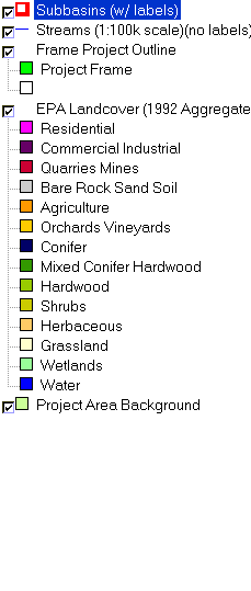
| Subbasins (w/ labels) | subbasins.shp.txt |
| Streams (1:100k scale)(no labels) | streams100.shp.txt |
| Frame Project Outline | Unavailable |
| EPA Landcover (1992 Aggregated) | lndcov2.tif.txt |
| Project Area Background | Unavailable |
If you obtain KRIS on a CD and install it on your hard drive as a desktop program, you will have access to increased map capabilities such as zooming in/out, turning layers on/off, adding layers and changing legends.
