| Area |
Petaluma River |
| Topic |
Tour: Monitoring Sites San Antonio Creek 2000 |
 Click on image to enlarge (152K). Click here to display a larger version (425K).
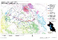
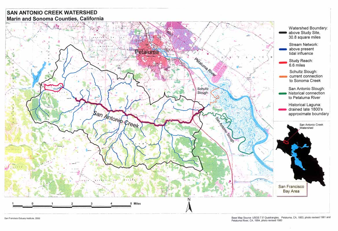
This map shows the 6.6 mile portion of San Antonio Creek surveyed by Laurel Collins in 2000. Also note the current versus historical connection of San Antonio Creek to the Petaluma River and the historical laguna. This image was taken from Collins, 2000.
 Click on image to enlarge (152K).
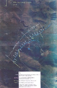
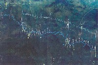
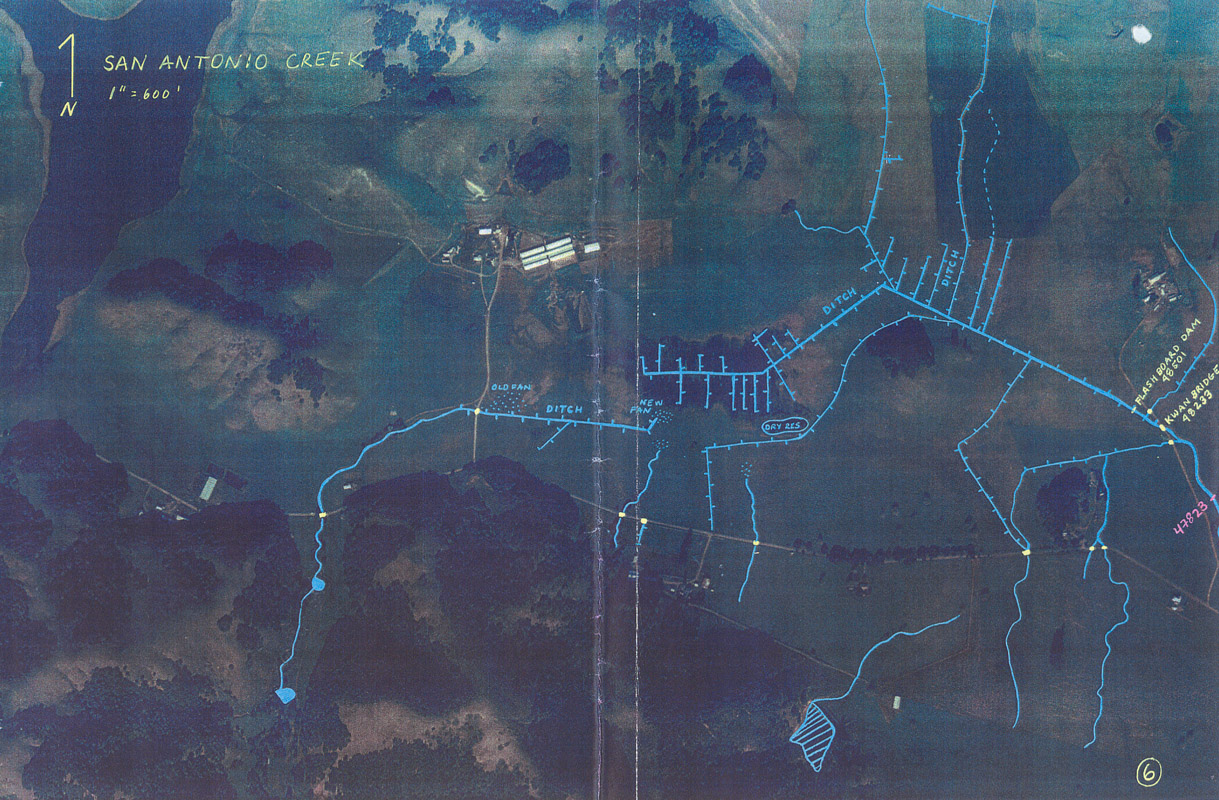
This aerial shows the Highway and Ditch reach locations along San Antonio Creek. Note the Key box at the bottom of the image describes the handwritten information. The photo was taken from Collins, 2000.
 Click on image to enlarge (133K). Click here to display a larger version (457K).
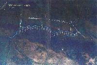
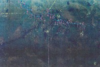
This aerial shows the Oak and Guernsey reach locations along San Antonio Creek. Note the Key box at the bottom of aerial #1 describes the handwritten information. The photo was taken from Collins, 2000.
 Click on image to enlarge (144K). Click here to display a larger version (457K).
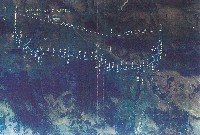
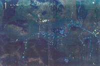
This aerial shows the Bedrock and Holstein reach locations along San Antonio Creek. Note the Key box at the bottom of aerial #1 describes the handwritten information. The photo was taken from Collins, 2000.
 Click on image to enlarge (131K). Click here to display a larger version (421K).
This aerial shows the Jersey, Avulsion, Gap, and Pond reach locations along San Antonio Creek. Note the Key box at the bottom of aerial #1 describes the handwritten information. The photo was taken from Collins, 2000.
 Click on image to enlarge (125K). Click here to display a larger version (411K).
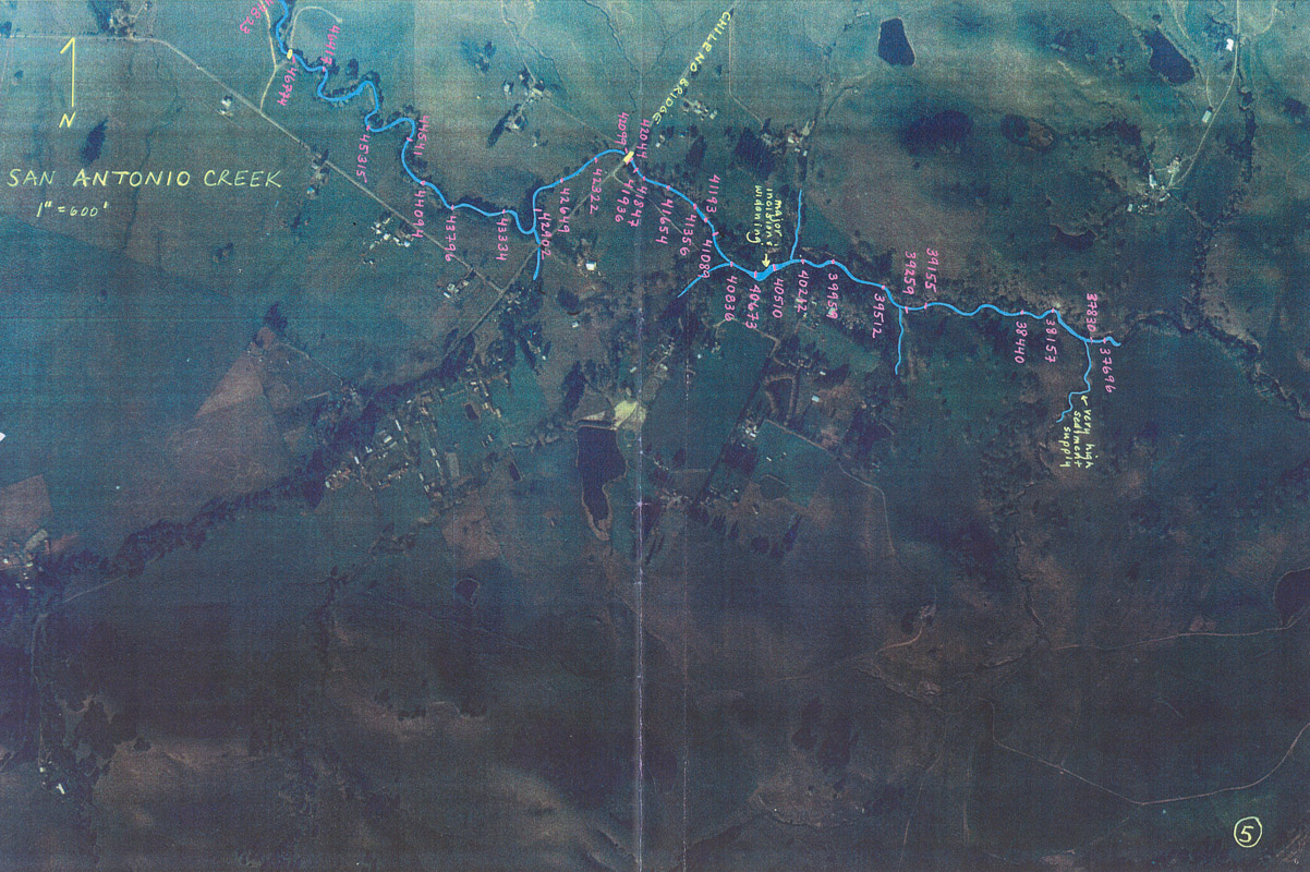
This aerial shows the area upstream of the study reaches in San Antonio Creek. Note the Key box at the bottom of aerial #1 describes the handwritten information. The photo was taken from Collins, 2000.
 Click on image to enlarge (124K). Click here to display a larger version (416K).
This aerial shows the continuation of San Antonio Creek upstream of the study reaches. Note the Key box at the bottom of aerial #1 describes the handwritten information. The photo was taken from Collins, 2000.
To learn more about this topic click Info Links
To view additional information (data source, aquisition date etc.) about this page, click Metadata

 Click on image to enlarge (152K). Click here to display a larger version (425K).
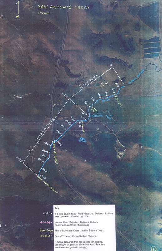 Click on image to enlarge (152K).
 Click on image to enlarge (133K). Click here to display a larger version (457K).
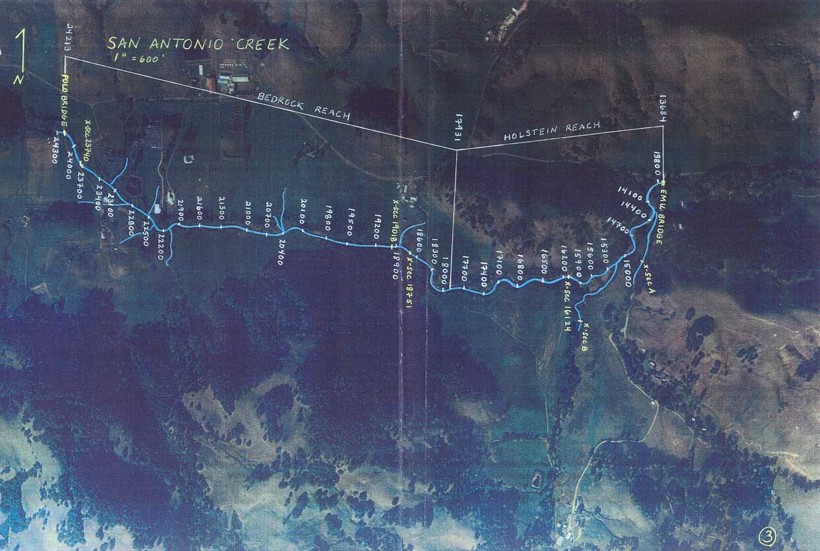 Click on image to enlarge (144K). Click here to display a larger version (457K).
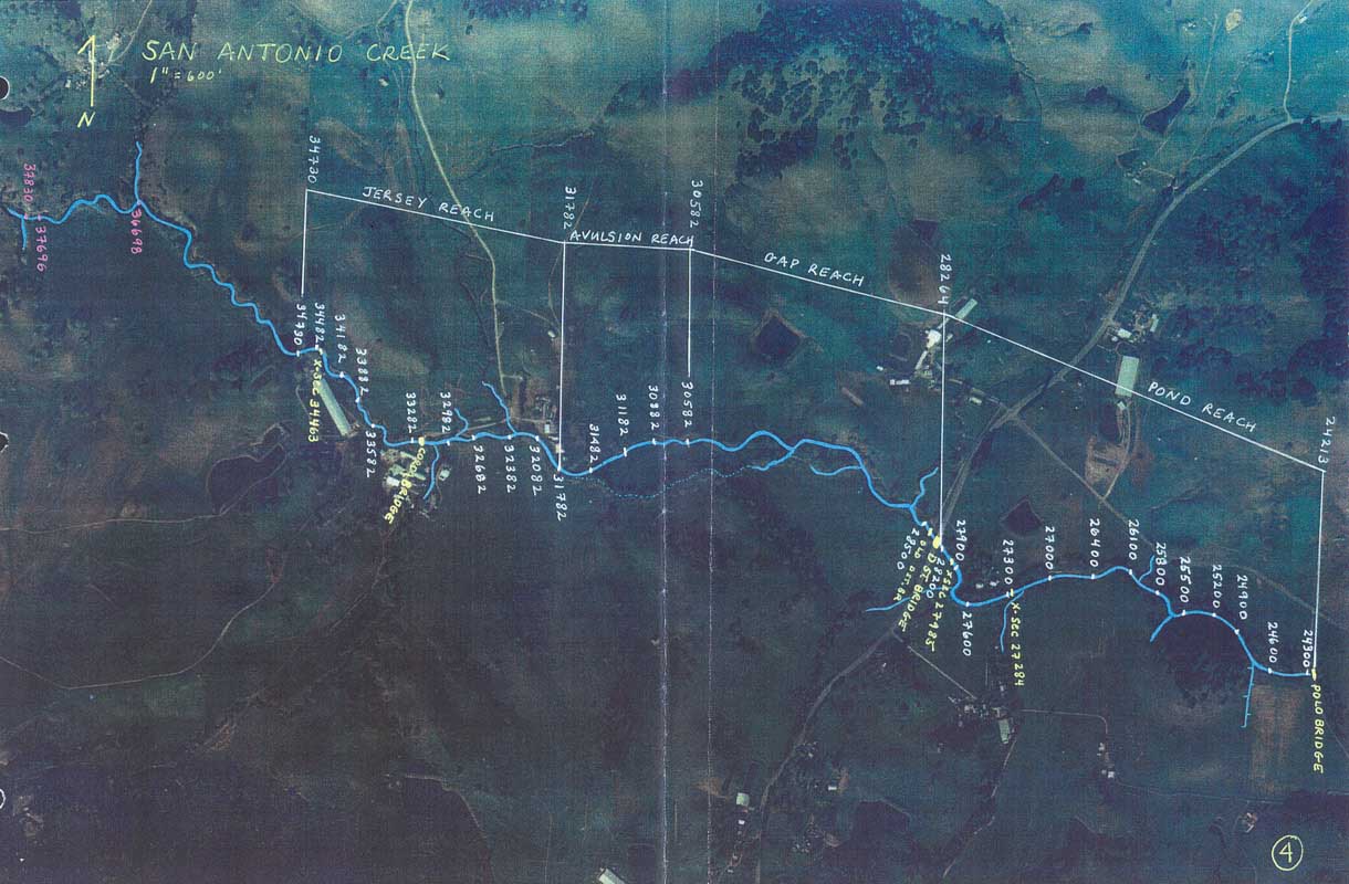 Click on image to enlarge (131K). Click here to display a larger version (421K).
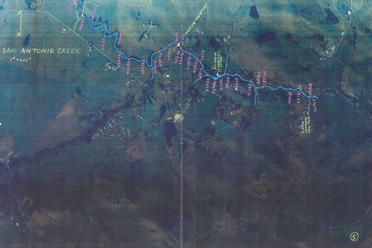 Click on image to enlarge (125K). Click here to display a larger version (411K).
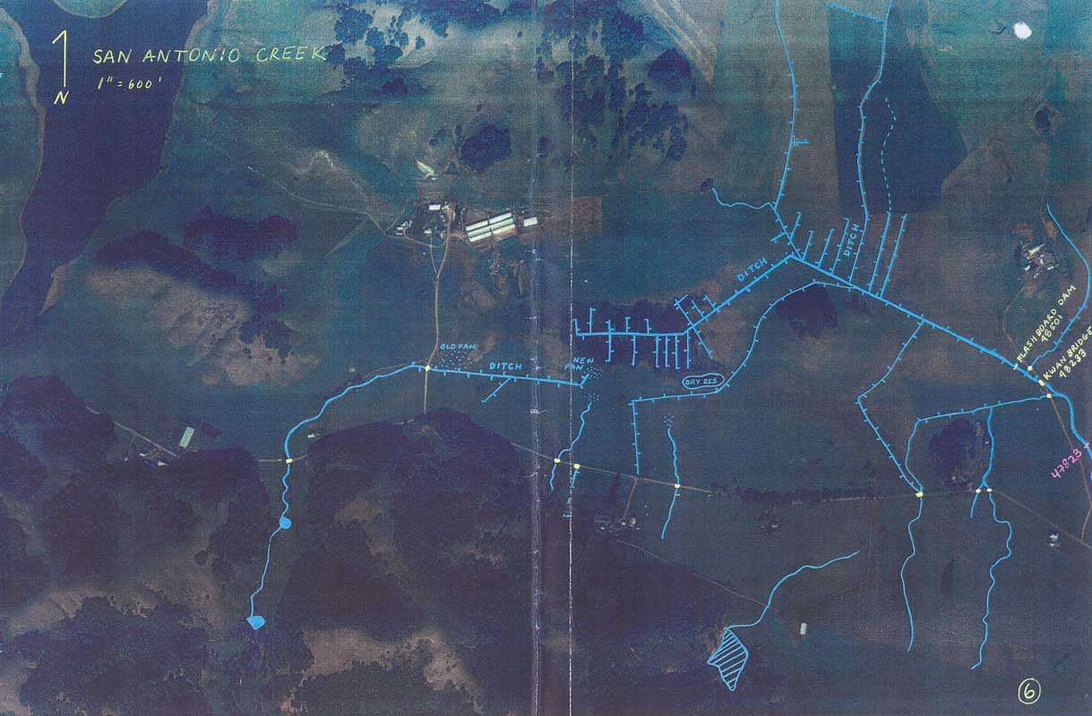 Click on image to enlarge (124K). Click here to display a larger version (416K).
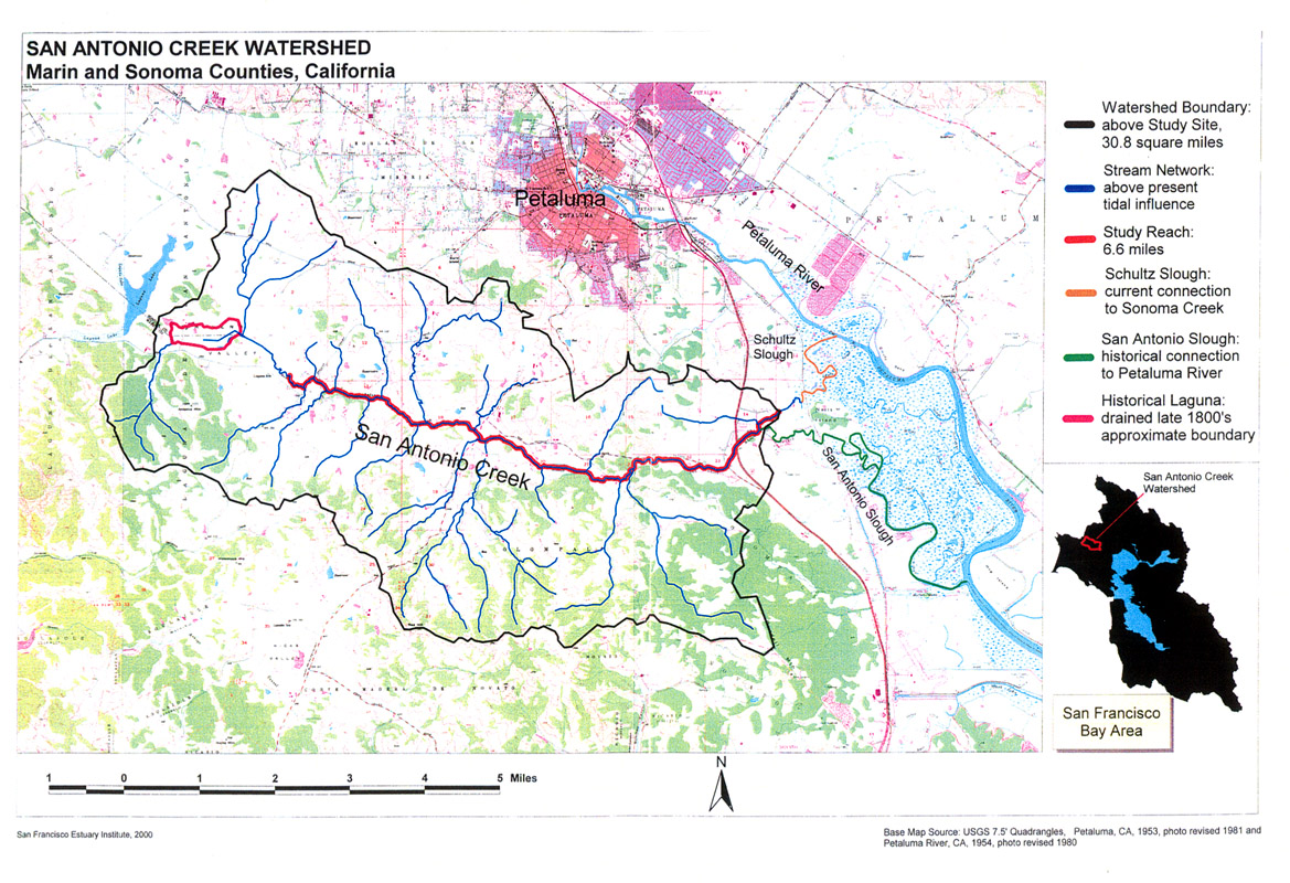