
| Area | Americano Creek |
| Topic | Map: 1D. USFS Vegetation Size, Americano Creek Sub-basin 1994 |
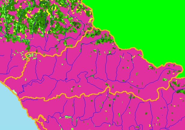
| This is a map of 1994 USFS Landsat vegetation size data in the Americano Creek sub-basin. Most of the area of the Americano Creek watershed is in grasslands, pasture, and other agricultural use, which show up as Non-Forest in this theme. The vegetation classification is accurate at a one-hectare scale (approximately 11 pixels) and is suitable for stand classification. Data provided by the U.S. Forest Service Spatial Analysis Lab in Sacramento, CA. Scale = 1:134,317 . | |||
 |
 |
||
To view metadata about a map layer, click on a link in the table below.
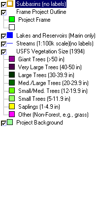
| Name of Layer in Map Legend | Metadata File Name |
|---|---|
| Subbasins (no labels) | subbasins.shp.txt |
| Frame Project Outline | Unavailable |
| Lakes and Reservoirs (Marin only) | Unavailable |
| Streams (1:100k scale)(no labels) | streams100.shp.txt |
| USFS Riparian Veg Size (1994) | vegsizebuf.tif.txt |
| USFS Vegetation Size (1994) | vegsize.tif.txt |
| Topo Map, North (1:24k scale) | Unavailable |
| Topo Map, South (1:24k scale) | Unavailable |
| Project Background | Unavailable |
| www.krisweb.com |