
| Area | Americano Creek |
| Topic | Tour: Estero Americano Maps 1977 |
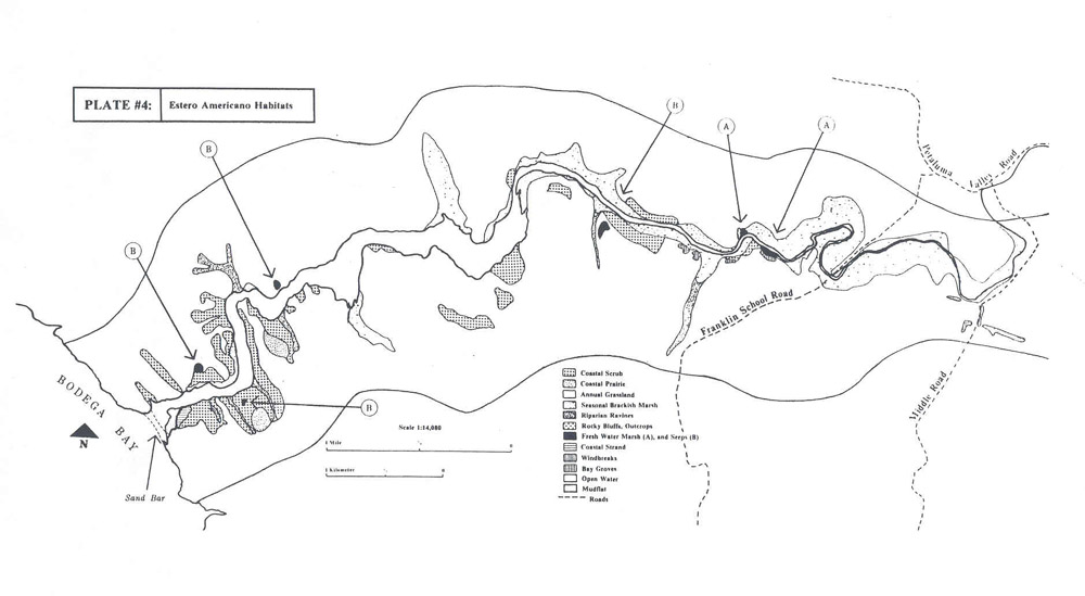
This is a map of primary habitat types of the Estero Americano (Americano Creek estuary) produced using aerial photographs and field checked. The map was prepared by Madrone Associates for the California Department of Fish and Game (Madrone, 1977).
This map shows special biotic areas, communities which are distinguished by unusual vegetation of high wildlife value, on lower Americano and Stemple creeks in areas known as Estero Americano and Estero de San Antonio, respectively. The map was prepared by Madrone Associates for the California Department of Fish and Game (Madrone, 1977).
 Click on image to enlarge (83K).
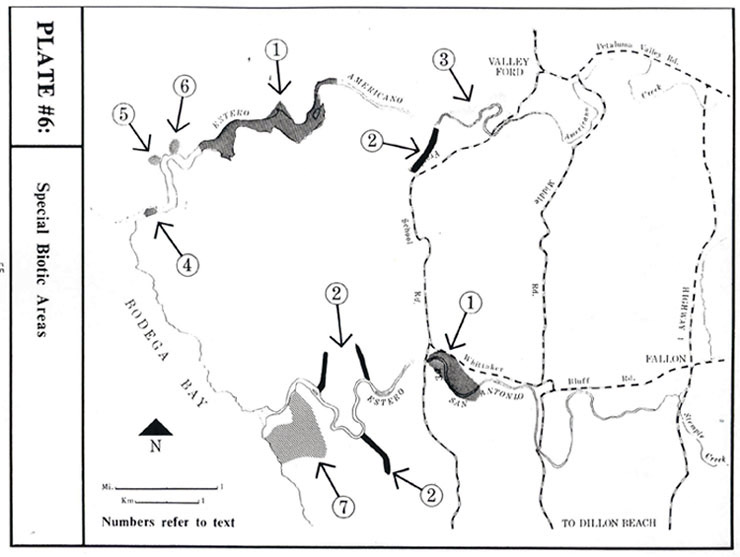 Click on image to enlarge (65K).
To learn more about this topic click Info Links
To view additional information (data source, aquisition date etc.) about this page, click Metadata
| www.krisweb.com |