
| Area | Regional |
| Topic | Map: 1K. Urbanization, West Marin-SonomaWest Marin-Sonoma |
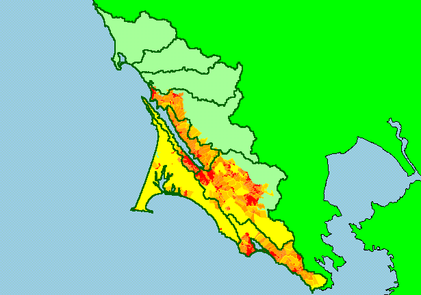
| This is a map of the parcel sizes for the southwestern portion of the KRIS West Marin-Sonoma project area. Parcels sizes are shown here as an index of residential development. The most heavily developed areas are near Tomales Bay, Bolinas, Stinson Beach, Muir Beach and in the Lagunitas Creek basin near Forest Knolls. Theme provided by the Point Reyes National Seashore. Scale = 1:620,843 . | |||
 |
 |
||
To view metadata about a map layer, click on a link in the table below.
| Name of Layer in Map Legend | Metadata File Name |
|---|---|
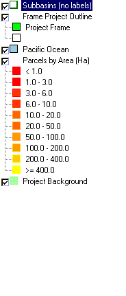
| Subbasins (no labels) | subbasins.shp.txt |
| Frame Project Outline | Unavailable |
| Pacific Ocean | Unavailable |
| Parcels by Area (Ha) | Unavailable |
| Topo Map, North (1:24k scale) | Unavailable |
| Topo Map, South (1:24k scale) | Unavailable |
| Project Background | Unavailable |
| www.krisweb.com |