| Area |
Regional |
| Topic |
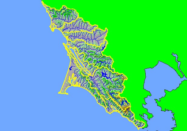
Map: 1D. Hydrography with DEM and Topo, West Marin-Sonoma |
|
This is a map of the 1:100,000 scale U.S. Geologic Survey hydrography in the KRIS West Marin-Sonoma project area overlaid on
top of a Digital Elevation Model (DEM) showing the topography of the landscape. The most mountainous area is in southern Marin
County around Mt Tamalpais and in the headwaters of Nicasio Creek. Much of the northern part of the project area is of low relief,
except for the northern Salmon Creek watershed.
|
|
|
 |
 |
To view metadata about a map layer, click on a link in the table below.
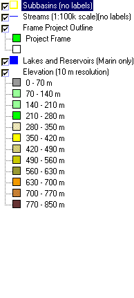
| Name of Layer in Map Legend | Metadata File Name |
|---|
| Subbasins (no labels) | subbasins.shp.txt |
| Streams (1:100k scale)(no labels) | streams100.shp.txt |
| Frame Project Outline | Unavailable |
| Lakes and Reservoirs (Marin only) | Unavailable |
| Elevation (10 m resolution) | elev10.tif.txt |
| Topo Map, North (1:24k scale) | Unavailable |
| Topo Map, South (1:24k scale) | Unavailable |
