|
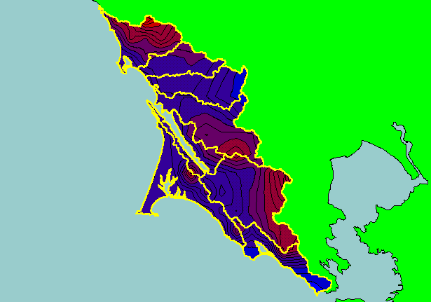
This is a map of annual rainfall in the KRIS West Marin-Sonoma project area based on work by the Oregon Climate Service at
Oregon State University. Their model was based on 1961-1990 rainfall data. Note higher rainfall in areas of higher relief around Mt.
Tamalpais in the south and the north end of the KRIS West Marin-Sonoma project in the Salmon Creek watershed. Click the check
box next to Elevation and uncheck the Annual Rainfall theme to see where mountains drive higher precipitation. Other themes
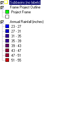
include Rain Gauge Locations, KRIS sub-basins, Calwater Planning Watersheds, Populated Places and 1:24000 streams. Scale = 1:638,019 .
|
|