|
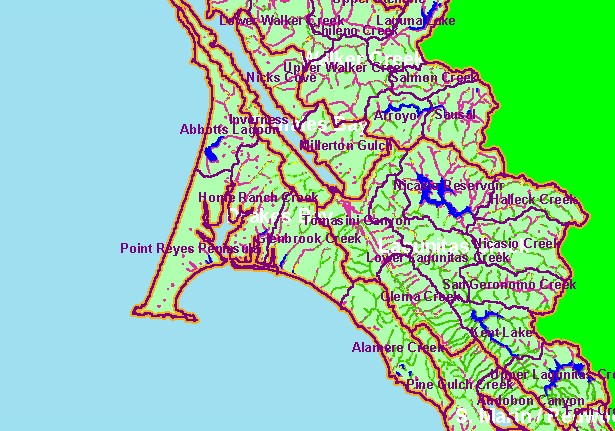
This is the 1994 USFS Landsat vegetation size data within 90-meter riparian buffer zones in the Drakes Bay sub-basin. Most of the
western basin extending out to Point Reyes and around Drakes Estero is in grasslands, beach or rocky headlands, so streams have
riparian zones showing largely as Non-Forest. Riparian zones along creeks draining into Tomales Bay and from the ridge extending
south have forested canopies. The vegetation classification is accurate at a one-hectare scale (approximately 11 pixels) and is
suitable for stand classification. Data provided by the U.S. Forest Service Spatial Analysis Lab in Sacramento, CA. Click the
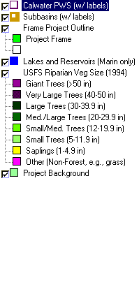
check box of the USGS Topo Map themes and use zoom tool to see where reaches are located. Other themes include Populated
Places, 1:24000 hydrography and Calwater Planning Watersheds. Scale = 1:311,690 .
|
|