| Area |
Drakes Bay |
| Topic |
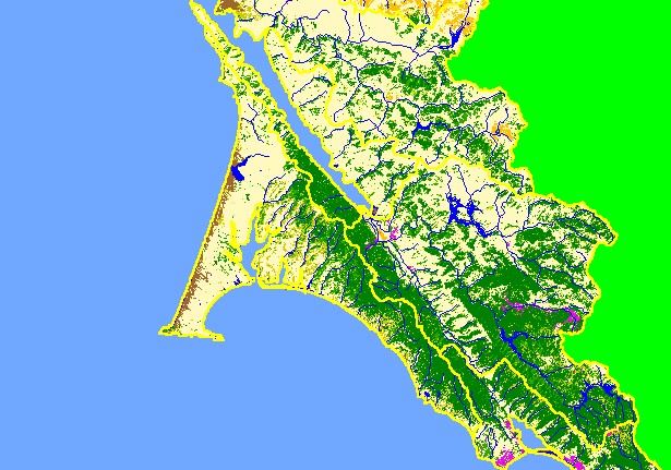
Map: 1C. EPA Landcover/Landuse, Drakes Bay Sub-basin |
|
This is the EPA Landcover/Landuse in the Drakes Bay sub-basin based on a 1992 Landsat image. The large areas of Non-Forest
in the west are grassy coastal plains and pasture. Coniferous forest and mixed forest dominate the slopes of the Point Reyes
National Seashore west of Tomales Bay. Hot pink shows residential development around Inverness to this east of this sub-basin.
|
|
|
 |
 |
To view metadata about a map layer, click on a link in the table below.
| Name of Layer in Map Legend | Metadata File Name |
|---|
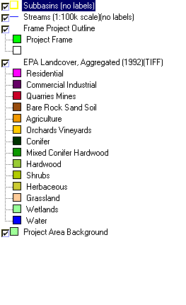
| Subbasins (no labels) | subbasins.shp.txt |
| Streams (1:100k scale)(no labels) | streams100.shp.txt |
| Frame Project Outline | Unavailable |
| EPA Landcover, Aggregated (1992)(TIFF) | lndcov2.tif.txt |
| EPA Landcover, Unaggregated (1992)(TIFF) | lndcov.tif.txt |
| Topo Map, North (1:24k scale) | Unavailable |
| Topo Map, South (1:24k scale) | Unavailable |
| Project Area Background | Unavailable |
