
| Area | Drakes Bay |
| Topic | WQ: Total Suspended Solids Drakes Bay Tributaries 1999-2001 |
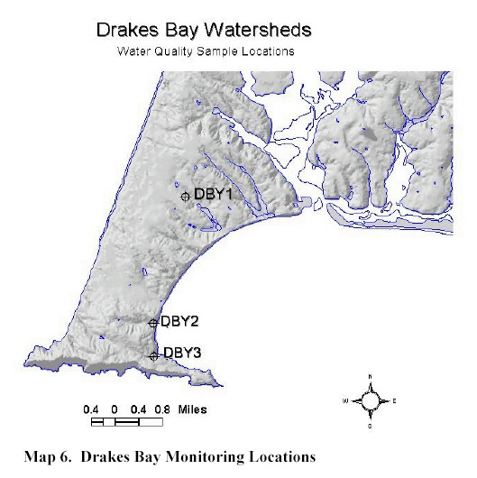
This map shows the sites in Drakes Bay watersheds where water quality was monitored during 1999-2001 by the Point Reyes National Seashore (NPS, 2001). This image was integrated into KRIS because the sites DBY1 and DBY2 are not labeled in the water quality spatial layer accessed when you click on Map.
 Click on image to enlarge (74K).
To learn more about this topic click Info Links
To view additional information (data source, aquisition date etc.) about this page, click Metadata
| www.krisweb.com |