
| Area | Lagunitas Creek |
| Topic | Fish: Spawner Survey, Adult Live Coho San Geronimo Creek 1997-2001 |
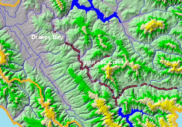
| This is a map of Marin Municipal Water District (MMWD) redd locations in the Lagunitas Creek sub-basin. | |||
 |
 |
||
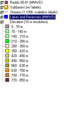
To view metadata about a map layer, click on a link in the table below.
| Name of Layer in Map Legend | Metadata File Name |
|---|---|
| Redds 00-01 (MMWD) | redd0001.shp.txt |
| Subbasins (w/ labels) | subbasins.shp.txt |
| Streams (1:100k scale)(no labels) | streams100.shp.txt |
| Lakes and Reservoirs (MMWD) | Unavailable |
| Topo Map, South (1:24k scale) | Unavailable |
| Elevation (10 m resolution) | elev10.tif.txt |
| www.krisweb.com |