
| Area | Stemple Creek |
| Topic | Tour: Stemple Creek Historic Farming circa 1900 |
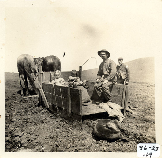
This is a photograph showing potato harvesting on the Hopkins Ranch, which is located along the mainstem of Stemple Creek likely prior to 1900. One of the first crops planted around this area was potatoes. The well-known Bodega-Red was the variety grown, and by the 1880's the yearly shipments from the area averaged 300,000 sacks. Photo courtesy of the Tomales Regional History Center.
This photograph shows a hay baling crew working a 500 pound bale press just north of Tomales, circa 1900. Wheat, oats, and some barley were grown during this time in the Stemple Creek watershed. The wheat was taken into nearby Valley Ford or Bloomfield every few days by horseback, where it was ground into flour. Photo courtesy of Tomales Regional History Center.
This photograph shows cattle ranching on the Luke Fallon Ranch on Highway One in Tomales circa 1850-1899. Photo courtesy of Tomales Regional History Center.
This is a photograph of the John Poncia Ranch circa 1910 located on Tomales Road near Twin Bridge Road on Stemple Creek. In the early days little dairying went on in the area, although a few pioneering dairymen had Spanish Longhorn cattle. However, as Swiss immigrants began to arrive in the 1870's dairying became an important industry. Photo provided courtesy of the Tomales Regional History Center.
This picture shows a chicken farm in the area from pre-1924. By the turn of the century poultry farming was becoming more common around Tomales and this enterprise mirrored that of Petaluma. Along Fallon Road alone there were nearly 100,000 hens. Photo provided courtesy of the Tomales Regional History Center.
This picture shows Burbank Lake, which was formed by damming Stemple Creek. Photo taken circa 1900-1919 and provided courtesy of the Tomales Regional History Center.
This is picture shows people boating on Burbank Lake. Photo provided courtesy of Tomales Regional History Center.
This picture shows flooding on Stemple Creek pre-1924. Photo provided courtesy of the Tomales Regional History Center.
 Click on image to enlarge (107K).
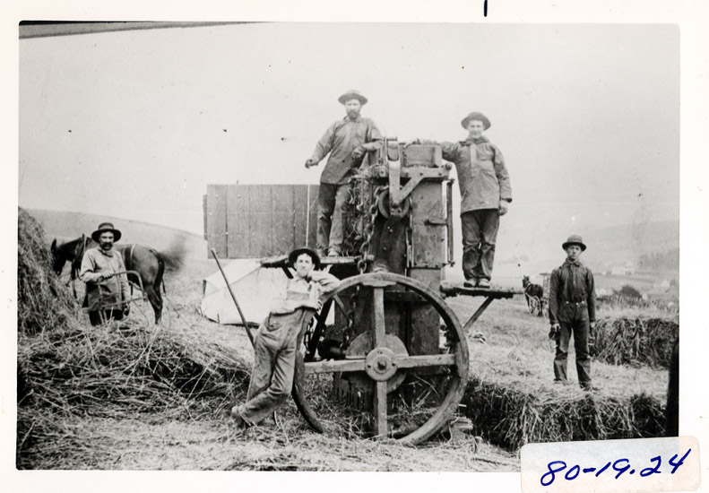 Click on image to enlarge (124K).
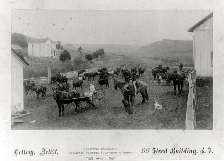 Click on image to enlarge (117K).
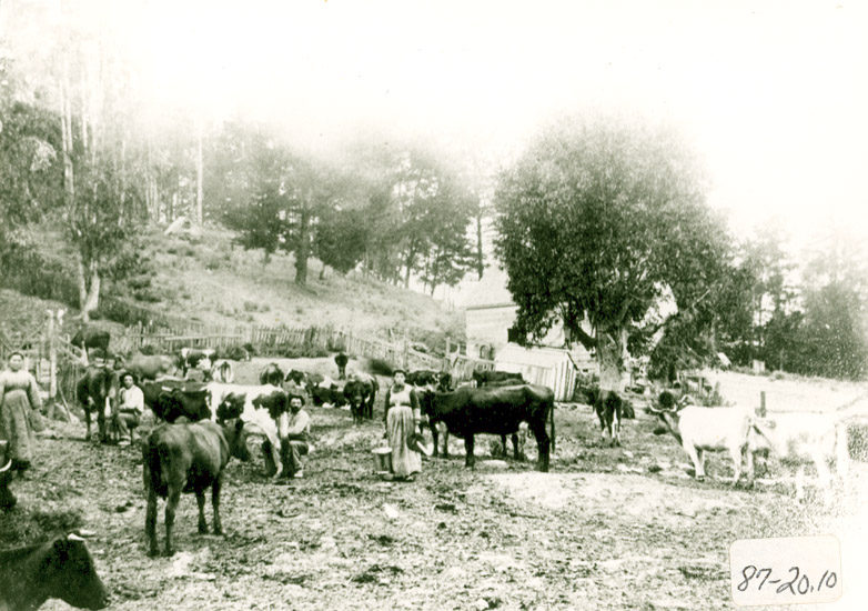 Click on image to enlarge (148K).
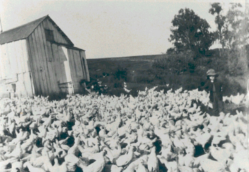 Click on image to enlarge (134K).
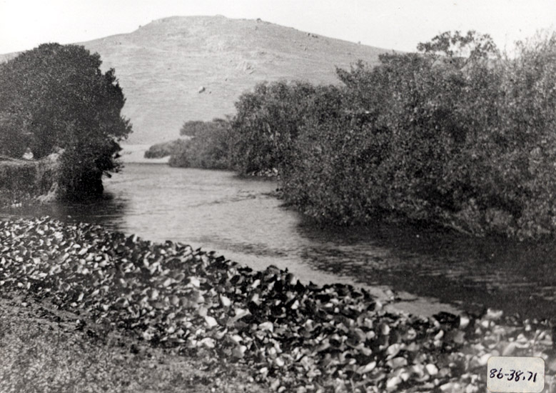 Click on image to enlarge (150K).
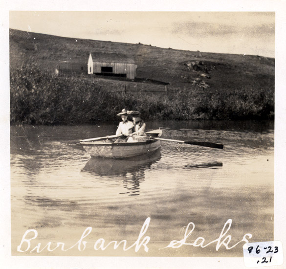 Click on image to enlarge (100K).
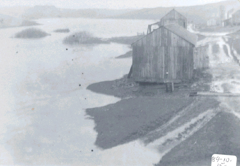 Click on image to enlarge (97K).
To learn more about this topic click Info Links
To view additional information (data source, aquisition date etc.) about this page, click Metadata
| www.krisweb.com |