| Area |
S Marin/Redwood Creek |
| Topic |
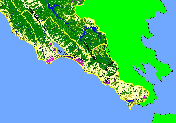
Map: 1C. EPA Landcover/Landuse, Southern Marin Sub-basin |
|
This is the EPA Landcover/Landuse in the Southern Marin Coast sub-basin derived from a 1992 Landsat image. Data provided by
the U.S. Environmental Protection Agency. This sub-basin has a great deal of forested area and almost no agriculture. Hot pink
shows areas of development such as Bolinas, Stinson Beach and Muir Beach.
|
|
|
 |
 |
To view metadata about a map layer, click on a link in the table below.
| Name of Layer in Map Legend | Metadata File Name |
|---|
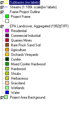
| Subbasins (no labels) | subbasins.shp.txt |
| Streams (1:100k scale)(w/ labels) | streams100.shp.txt |
| Frame Project Outline | Unavailable |
| EPA Landcover, Aggregated (1992)(TIFF) | lndcov2.tif.txt |
| EPA Landcover, Unaggregated (1992)(TIFF) | lndcov.tif.txt |
| Topo Map, North (1:24k scale) | Unavailable |
| Topo Map, South (1:24k scale) | Unavailable |
| Project Area Background | Unavailable |
