
| Area | S Marin/Redwood Creek |
| Topic | Climate: Redwood Creek Mean Monthly Rainfall and Evaporation 1941-1994 |
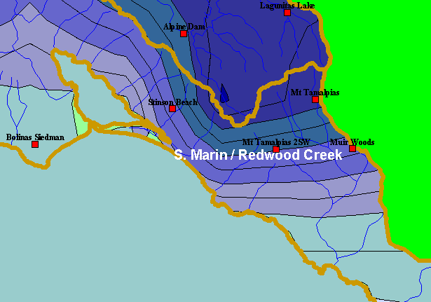
| This is a map of rain gauges in the Southern Marin Coast sub-basin, provided to KRIS by California Department of Water Resources (DWR). Displayed in the background are KRIS sub-basins and the annual rainfall model from Oregon State University. Low-elevation coastal areas have lower rainfall, whereas interior gauges near mountains have greater precipitation. Click the check boxes next to the Elevation and Mean Annual Rainfall layers to see how topography corresponds to rainfall patterns. Other available layers include a 1:24,000 scale USGS topographic map and Calwater Planning Watersheds. Scale = 1:101,295 . | |||
 |
 |
||
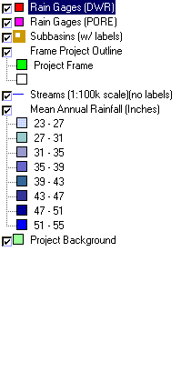
To view metadata about a map layer, click on a link in the table below.
| Name of Layer in Map Legend | Metadata File Name |
|---|---|
| Rain Gages (DWR) | raingages_wms_dwr.shp.txt |
| Rain Gages (PORE) | rain_guages.shp.txt |
| Subbasins (w/ labels) | subbasins.shp.txt |
| Frame Project Outline | Unavailable |
| Streams (1:100k scale)(no labels) | streams100.shp.txt |
| Mean Annual Rainfall (Inches) | rain61_90.shp.txt |
| Topo Map, North (1:24k scale) | Unavailable |
| Topo Map, South (1:24k scale) | Unavailable |
| Elevation (10 m resolution) | elev10.tif.txt |
| Project Background | Unavailable |
| www.krisweb.com |