
| Area | S Marin/Redwood Creek |
| Topic | Flow: Redwood Creek Preferred Flows for Salmonids 1983 |
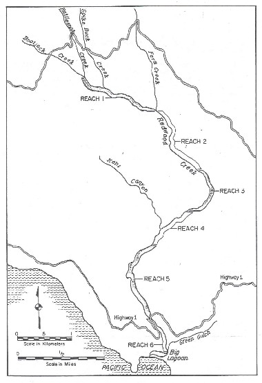
This map shows the reaches used in conducting the Toe-Width Method by the Department of Fish and Game in Redwood Creek in 1983. Map taken from Snider, 1984.
This graphs shows the percent of time daily discharge is exceeded near Highway 1 in Redwood Creek. Graph taken from Snider, 1984.
 Click on image to enlarge (45K).
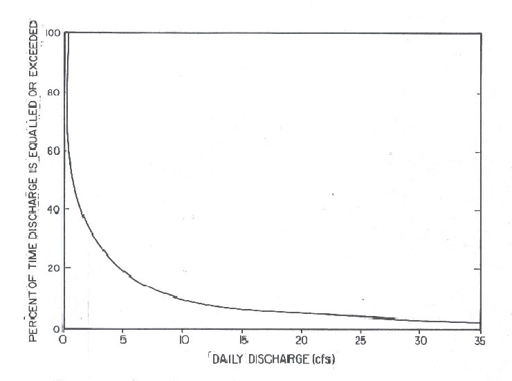 Click on image to enlarge (35K).
To learn more about this topic click Info Links
To view additional information (data source, aquisition date etc.) about this page, click Metadata
| www.krisweb.com |