
| Area | S Marin/Redwood Creek |
| Topic | Tour: Aerials of Muir Beach, Big Lagoon and Redwood Creek |
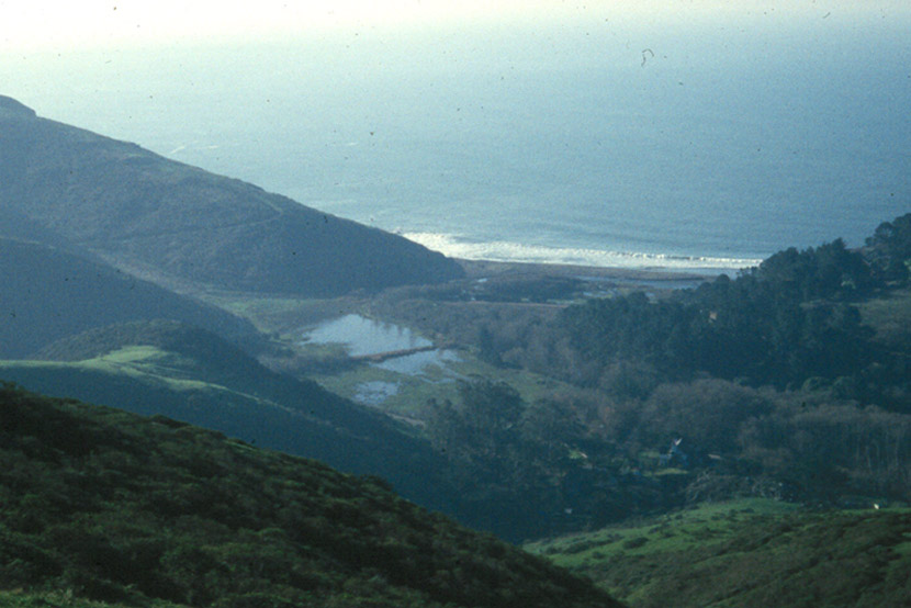
This aerial photo shows Muir Beach and high winter flows flooding the lowlands and lagoon of Redwood Creek. Note that despite high water there is no sediment plume off the mouth of the creek indicating excessive erosion. Photos provided courtesy of the Golden Gate National Recreation Area.
Close up of Big Lagoon at the mouth of Redwood Creek during spring flow with the creek still having a small channel draining into the ocean near the rocks at the north end of the Muir Beach. The lagoon is partially filled by the parking area associated with recreational use. Photos provided courtesy of the Golden Gate National Recreation Area.
Grassy knolls and chaparral dominate the uplands of coastal Marin here in a tributary watershed of Redwood Creek. This mosaic of vegetation is largely driven by geology although past grazing (and burning by the Indians before that) may have helped maintain grassy areas. Photos provided courtesy of the Golden Gate National Recreation Area.
Conifers grow in the shady hollows of the Redwood Creek watershed. Dormant alders (grey at center right) line the channel of the mainstem of Redwood Creek (also likely California Bay laurel in overstory). Non-native Eucalyptus is well established on the ridge at center left in the photo. Photos provided courtesy of the Golden Gate National Recreation Area.
 Click on image to enlarge (107K).
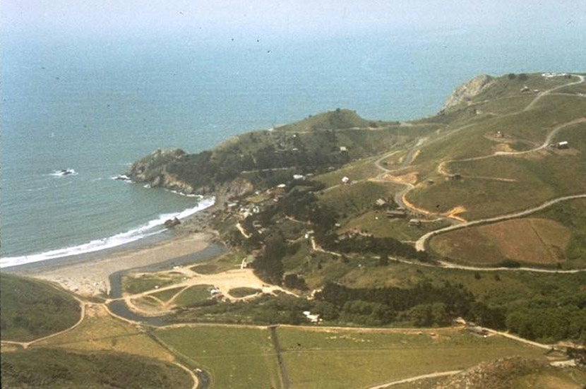 Click on image to enlarge (114K).
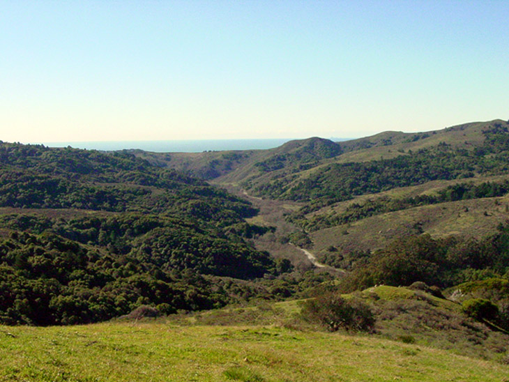 Click on image to enlarge (148K).
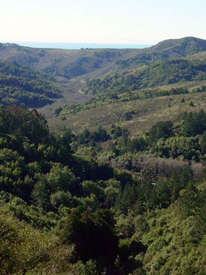 Click on image to enlarge (98K).
To learn more about this topic click Info Links
To view additional information (data source, aquisition date etc.) about this page, click Metadata
| www.krisweb.com |