| Area |
Salmon Creek |
| Topic |
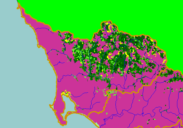
Map: 1D. USFS Vegetation Size, Salmon Creek Sub-basin 1994 |
|
This is a map of 1994 USFS Landsat vegetation size data in the Salmon Creek sub-basin. The large areas of Non-Forest vegetation
are grassy areas and pastures, as well as chaparral. Forested areas are associated with higher relief and greater rainfall in the
northern Salmon Creek watershed. The vegetation classification is accurate at a one-hectare scale (approximately 11 pixels) and is
suitable for stand classification. Data provided by the U.S. Forest Service Spatial Analysis Lab in Sacramento, CA. Scale = 1:150,573 .
|
|
|
 |
 |
To view metadata about a map layer, click on a link in the table below.
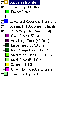
| Name of Layer in Map Legend | Metadata File Name |
|---|
| Subbasins (no labels) | subbasins.shp.txt |
| Frame Project Outline | Unavailable |
| Lakes and Reservoirs (Marin only) | Unavailable |
| Streams (1:100k scale)(no labels) | streams100.shp.txt |
| USFS Riparian Veg Size (1994) | vegsizebuf.tif.txt |
| USFS Vegetation Size (1994) | vegsize.tif.txt |
| Topo Map, North (1:24k scale) | Unavailable |
| Topo Map, South (1:24k scale) | Unavailable |
| Project Background | Unavailable |
