| Area |
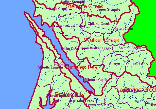
Tomales Bay |
| Topic |
Land Cover: EPA Land Use in Tomales Bay Sub-basin 1992 |
|
This is the EPA Landcover/Landuse in the Tomales Bay sub-basin based on a 1992 Landsat image. The large areas of Non-Forest
in the east and near the outlet of the bay on the west are grassy coastal plains and pasture. Coniferous forest and mixed forest
dominate the parts of the watershed west of the bay where there are rolling hills.
|
|
|
 |
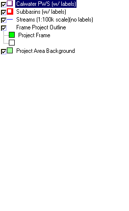 |
To view metadata about a map layer, click on a link in the table below.
| Name of Layer in Map Legend | Metadata File Name |
|---|
| Calwater PWS (w/ labels) | calw22.shp.txt |
| Subbasins (w/ labels) | subbasins.shp.txt |
| Streams (1:100k scale)(no labels) | streams100.shp.txt |
| Frame Project Outline | Unavailable |
| EPA Landcover, Aggregated (1992)(TIFF) | lndcov2.tif.txt |
| EPA Landcover, Unaggregated (1992)(TIFF) | lndcov.tif.txt |
| Topo Map, North (1:24k scale) | Unavailable |
| Topo Map, South (1:24k scale) | Unavailable |
| Project Area Background | Unavailable |
