| Area |
Walker Creek |
| Topic |
Land Cover: USFS Veg Size in Walker Creek Riparian Zones 1994 |
|
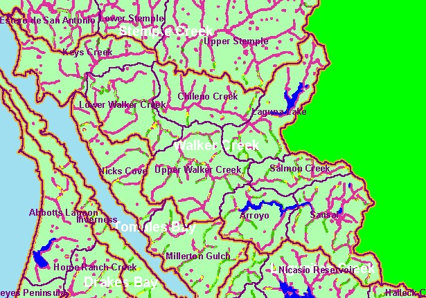
This is a map of 1994 USFS Landsat vegetation size data within 90-meter riparian buffer zones on Keys Creek near the town of
Tomales in the Walker Creek sub-basin on a backdrop of a U.S. Geologic Survey Topo Map. Classification is accurate at the one
hectare scale so characterization of the riparian zone may miss individual trees or small stands. The riparian of the creek shows
primarily as Non-Forest, although there are patches of trees ranging in size from Small (5-11.9" diameter) to Large Trees (30-40"
diameter).
|
|
|
 |
 |
To view metadata about a map layer, click on a link in the table below.
| Name of Layer in Map Legend | Metadata File Name |
|---|
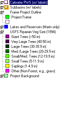
| Calwater PWS (w/ labels) | calw22.shp.txt |
| Subbasins (w/ labels) | subbasins.shp.txt |
| Frame Project Outline | Unavailable |
| Lakes and Reservoirs (Marin only) | Unavailable |
| USFS Riparian Veg Size (1994) | vegsizebuf.tif.txt |
| USFS Vegetation Size (1994) | vegsize.tif.txt |
| Topo Map, North (1:24k scale) | Unavailable |
| Topo Map, South (1:24k scale) | Unavailable |
| Project Background | Unavailable |
