| Area |
Walker Creek |
| Topic |
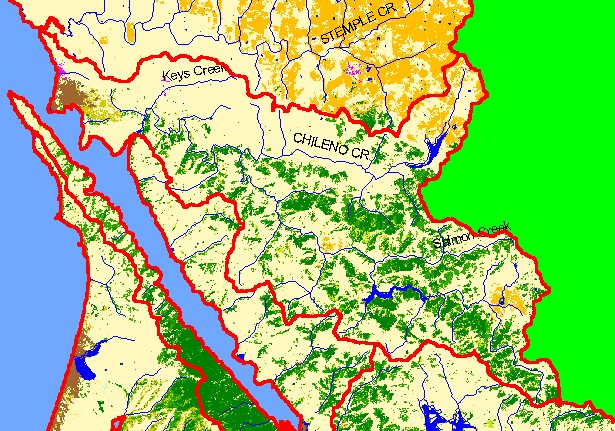
Map: 1C. EPA Landcover/Landuse, Walker Creek Sub-basin |
|
This is a map of the EPA Landcover/Landuse in the Walker Creek sub-basin derived from a 1992 Landsat image. Coniferous
forest and mixed forest are scattered throughout the watershed. Hot pink shows residential development around Dillon Beach and
Tomales. Data provided by the U.S. Environmental Protection Agency.
|
|
|
 |
 |
To view metadata about a map layer, click on a link in the table below.
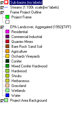
| Name of Layer in Map Legend | Metadata File Name |
|---|
| Sub-basins (no labels) | subbasins.shp.txt |
| Streams (1:100k scale)(w/ labels) | streams100.shp.txt |
| Frame Project Outline | Unavailable |
| EPA Landcover, Aggregated (1992)(TIFF) | lndcov2.tif.txt |
| EPA Landcover, Unaggregated (1992)(TIFF) | lndcov.tif.txt |
| Topo Map, North (1:24k scale) | Unavailable |
| Topo Map, South (1:24k scale) | Unavailable |
| Project Area Background | Unavailable |
