| Area |
Walker Creek |
| Topic |
Aquatic Invertebrates: Walker Creek Taxa Richness 2001 |
|
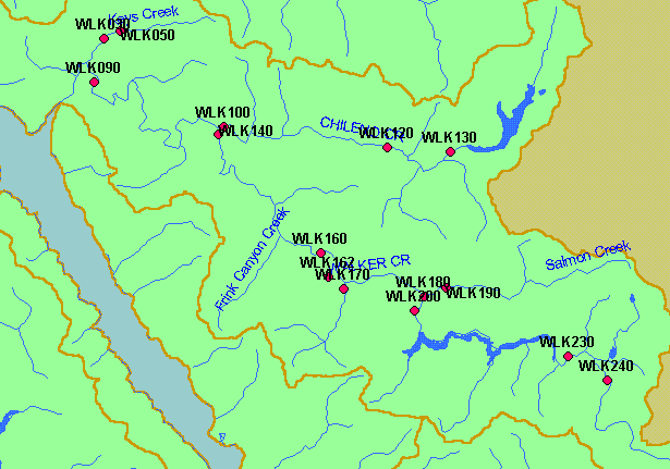
This is a map of macroinvertebrate sampling stations in the Walker Creek sub-basin, which were sampled in spring 2001 by the San
Francisco Bay Regional Water Quality Control Board according to California Stream Bioassessment Procedure (CSBP) protocols,
as part of the Surface Water Ambient Monitoring Program (SWAMP). Displayed in the background are sub-basins and 1:100,000
scale USGS hydrography.
|
|
|
 |
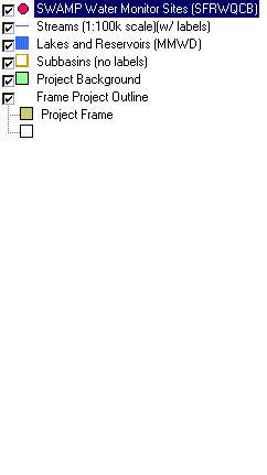 |
To view metadata about a map layer, click on a link in the table below.
| Name of Layer in Map Legend | Metadata File Name |
|---|
| SWAMP Water Monitor Sites (SFRWQCB) | swamp1.shp.txt |
| Streams (1:100k scale)(w/ labels) | streams100.shp.txt |
| Lakes and Reservoirs (MMWD) | Unavailable |
| Subbasins (no labels) | subbasins.shp.txt |
| Topo Map, South (1:24k scale) | Unavailable |
| Elevation (10 m resolution) | elev10.tif.txt |
| Project Background | Unavailable |
| Frame Project Outline | Unavailable |
