| Area |
Walker Creek |
| Topic |
Tour: Walker Creek Watershed Enhancement Plan Photos I |
 Click on image to enlarge (162K).
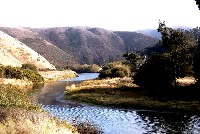
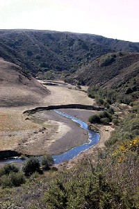
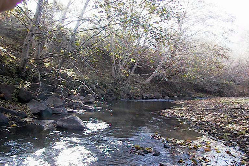
This is a picture of lower Walker Creek. Photo provided courtesy of the Marin Resource Conservation District and Prusuke Chatham Inc. (PCI, 2001).
 Click on image to enlarge (39K). Click here to display a larger version (242K).
This is a picture of Keys Creek, which is in the northern portion of the Walker Creek watershed south of the town of Tomales. A large portion of this sub-watershed has been characterized as annual grassland, and in total supports less than 2.5 acres of dense riparian forest. Habitat characterization and photo provided by the Marin Resource Conservation District and Prunuske Chatham Inc. (PCI, 2001).
 Click on image to enlarge (41K). Click here to display a larger version (253K).
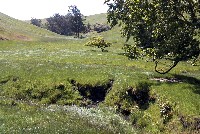
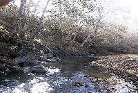
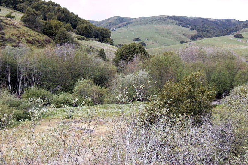
This is picture of Chileno Creek, a northern tributary of Walker Creek, which has its origin at Laguna Lake -- a shallow, natural freshwater lake. The lower reach of this creek flows through a narrow corridor which is contained within the stream channel and dominated by willow. Habitat characterization and photo provided by the Marin Resource Conservation District and Prunuske Chatham Inc. (PCI, 2001).
 Click on image to enlarge (143K).
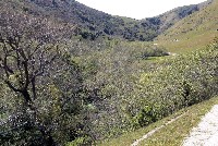
This is another picture of Chileno Creek. The middle and upper reaches of this creek mostly flow through a broad, open floodplain consisting of annual grassland. However, tributaries adjacent to Chileno Creek have wide riparian corridors of dense vegetation and reside on steeper slopes which limits accessibility to cattle. Habitat characterization and photo provided by the Marin Resource Conservation District and Prunuske Chatham Inc. (PCI, 2001).
 Click on image to enlarge (39K). Click here to display a larger version (241K).
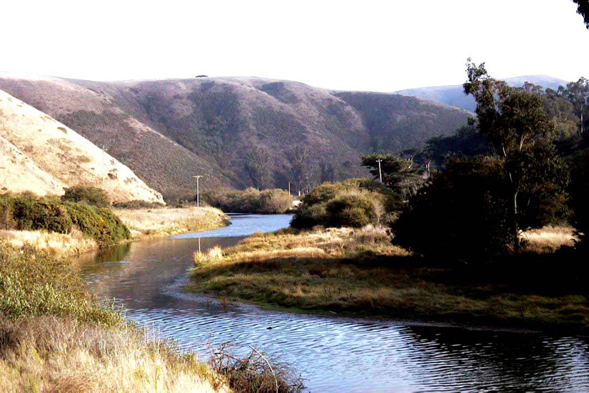
This is a picture of the mainstem of Walker Creek. Many portions of the mainstem and tributaries consist of relatively dense riparian corridors. However, regeneration of woody plants along the main channel is moderate. Habitat characterization and photo provided by the Marin Resource Conservation District and Prunuske Chatham Inc. (PCI, 2001).
 Click on image to enlarge (91K).
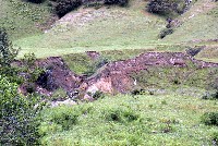
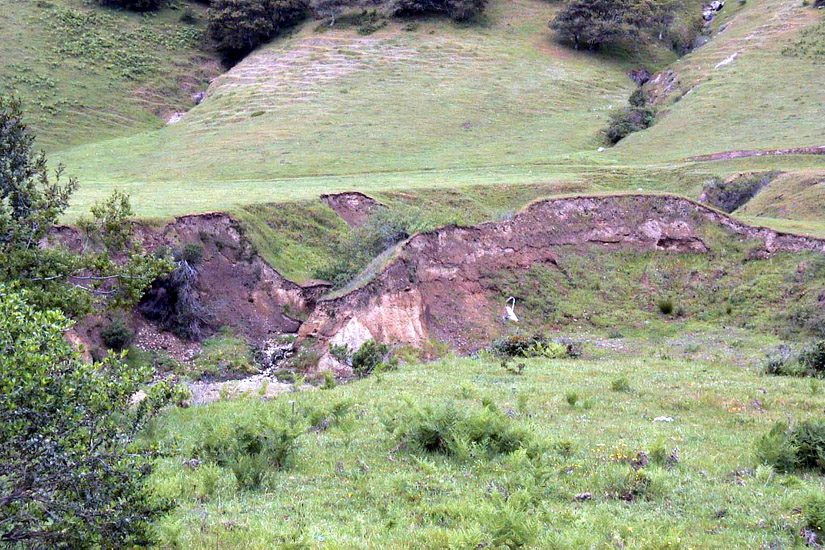
This is another picture of the mainstem of Walker Creek. The lower reaches contain the most disturbed areas, which have been degraded by natural changes in the creek meander and livestock grazing and trampling. The riparian vegetation and water quality are impacted by continued erosion. Habitat characterization and photo provided by the Marin Resource Conservation District and Prunuske Chatham Inc. (PCI, 2001).
 Click on image to enlarge (41K). Click here to display a larger version (259K).
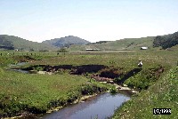
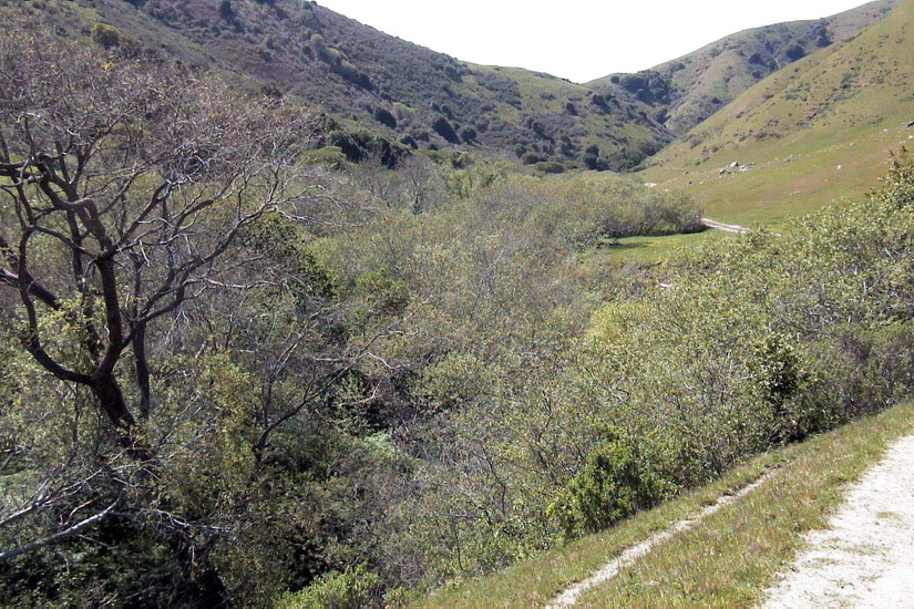
This is a picture of Salmon Creek, which is in the southern half of the Walker Creek watershed and flows through Hicks Valley. The riparian corridor along the lower and middle reaches is mostly well-vegetated and the upper area widens into a floodplain and consists primarily of annual grassland. This watershed contains a remnant of perennial grassland. Habitat characterization and photo provided by the Marin Resource Conservation District and Prunuske Chatham Inc. (PCI, 2001).
 Click on image to enlarge (47K). Click here to display a larger version (235K).
This is a picture of Arroyo Sausal, the southernmost creek in the Walker Creek watershed, which also flows through Hicks Valley where it meets with Salmon Creek. This sub-watershed contains the Soulajule Reservoir which was built in 1968 and expanded in 1980. The reservoir has caused significant changes to the creek. Before the expansion reductions in available water decreased dense riparian corridors. However, after the expansion summer releases contributed to riparian vegetation regeneration. Habitat characterization and photo provided by the Marin Resource Conservation District and Prunuske Chatham Inc. (PCI, 2001).
To learn more about this topic click Info Links
To view additional information (data source, aquisition date etc.) about this page, click Metadata

 Click on image to enlarge (162K).
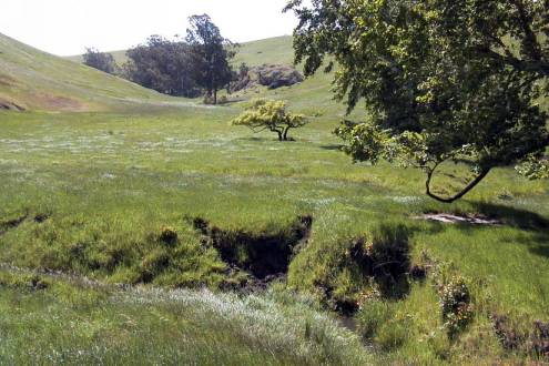 Click on image to enlarge (39K). Click here to display a larger version (242K).
 Click on image to enlarge (41K). Click here to display a larger version (253K).
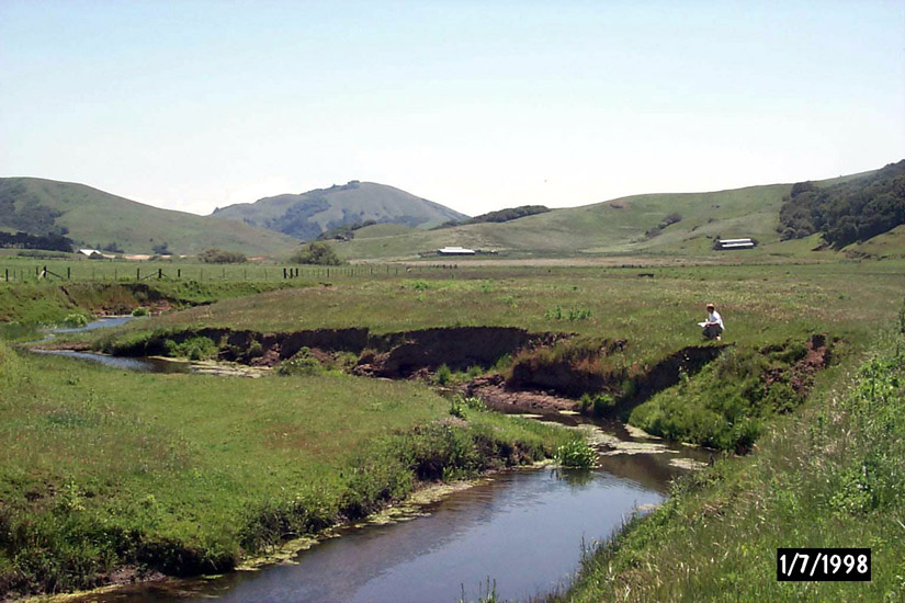 Click on image to enlarge (143K).
 Click on image to enlarge (39K). Click here to display a larger version (241K).
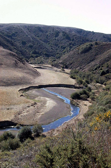 Click on image to enlarge (91K).
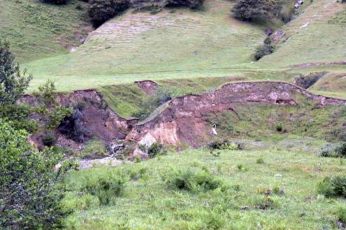 Click on image to enlarge (41K). Click here to display a larger version (259K).
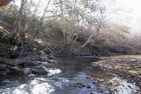 Click on image to enlarge (47K). Click here to display a larger version (235K).
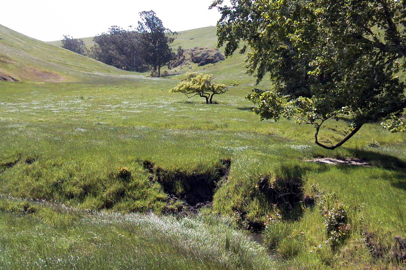