| Area |
Walker Creek |
| Topic |
Tour: Walker Creek Watershed Enhancement Plan Photos II |
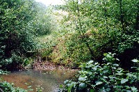 Click on image to enlarge (47K). Click here to display a larger version (263K).
Walker Creek and its tributaries contain dense two-storied riparian corridors generally along the upper reaches of creeks with steep topography. In these locations streambank stability is usually high. Photo provided by the Marin Resource Conservation District and Prunuske Chatham Inc. (PCI, 2001).
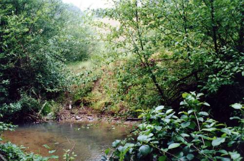
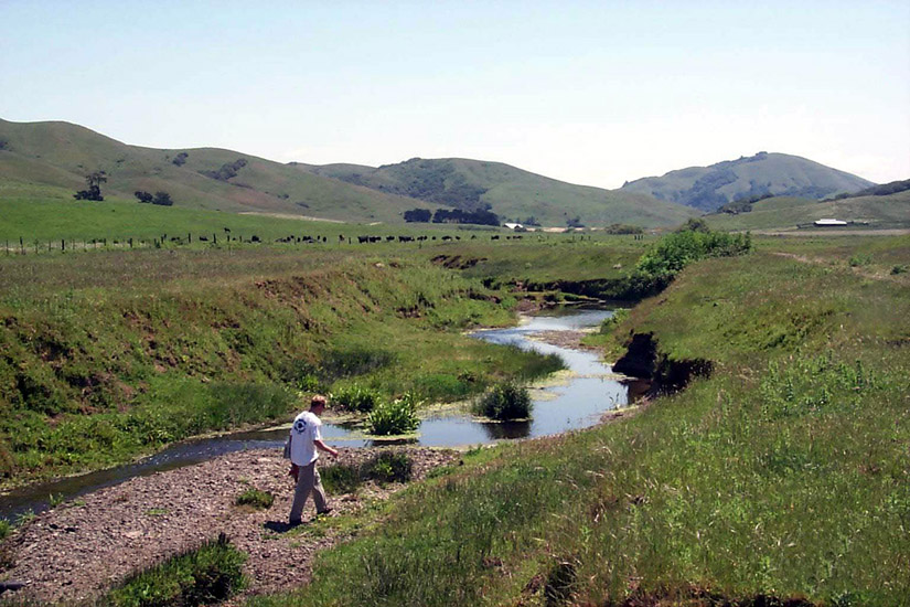
 Click on image to enlarge (29K). Click here to display a larger version (171K).
Along the main channels of the Walker Creek watershed some historically dense riparian corridors have decreased due to agriculture uses. Photo provided by the Marin Resource Conservation District and Prunuske Chatham Inc. (PCI, 2001).
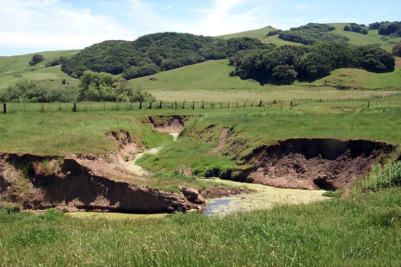
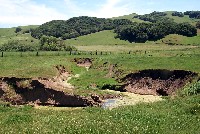 Click on image to enlarge (36K). Click here to display a larger version (205K).
Some areas of Walker Creek have experienced significant downcutting due to past and current land practices, as well as major storm events. Photo provided by the Marin Resource Conservation District and Prunuske Chatham Inc. (PCI, 2001).
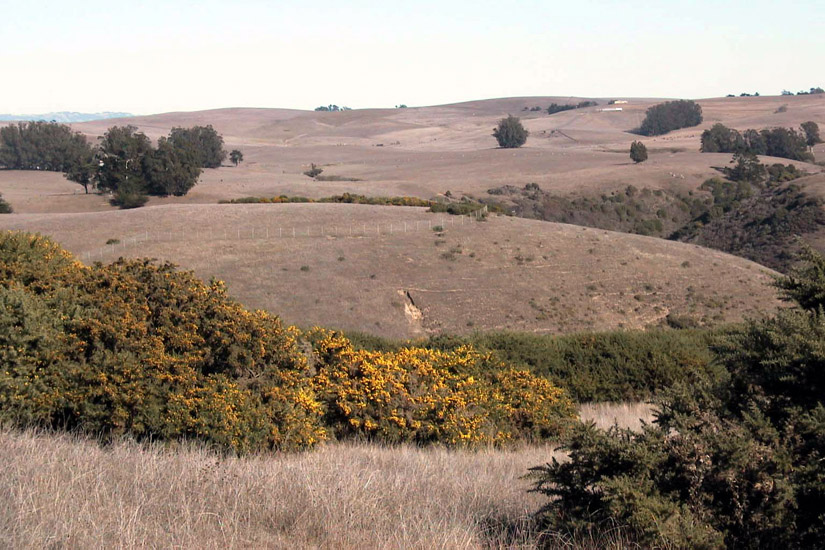
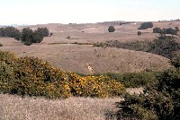 Click on image to enlarge (30K). Click here to display a larger version (178K).
This is a picture of gorse, an invasive exotic species. The Walker Creek watershed contains some dense populations of this plant, which are difficult to control. Photo provided by the Marin Resource Conservation District and Prunuske Chatham Inc. (PCI, 2001).
To learn more about this topic click Info Links
To view additional information (data source, aquisition date etc.) about this page, click Metadata

 Click on image to enlarge (47K). Click here to display a larger version (263K).
 Click on image to enlarge (29K). Click here to display a larger version (171K).
 Click on image to enlarge (36K). Click here to display a larger version (205K).
 Click on image to enlarge (30K). Click here to display a larger version (178K).
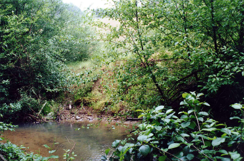