| Area |
Walker Creek |
| Topic |
Tour: Walker Creek Watershed Riparian and Erosion Survey Maps 2001 |
 Click on image to enlarge (144K). Click here to display a larger version (1,338K).
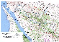
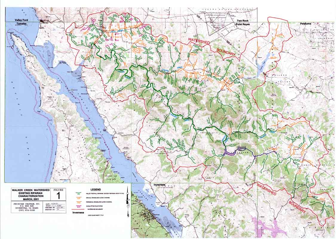
This map shows the results of a riparian plant community assessment, using the California Wildlife Habitat Relationships (WHR) System, for the Walker Creek watershed conducted during March, 2001. See the topic Habitat: Walker Creek Streamside Vegetation by Sub-Watershed 2000 for summaries of this information by sub-watershed. These data were collected for the Marin Resource Conservation District by Prunuske Chatham Inc. (PCI). The image was provided by PCI and can be found in PCI, 2001.
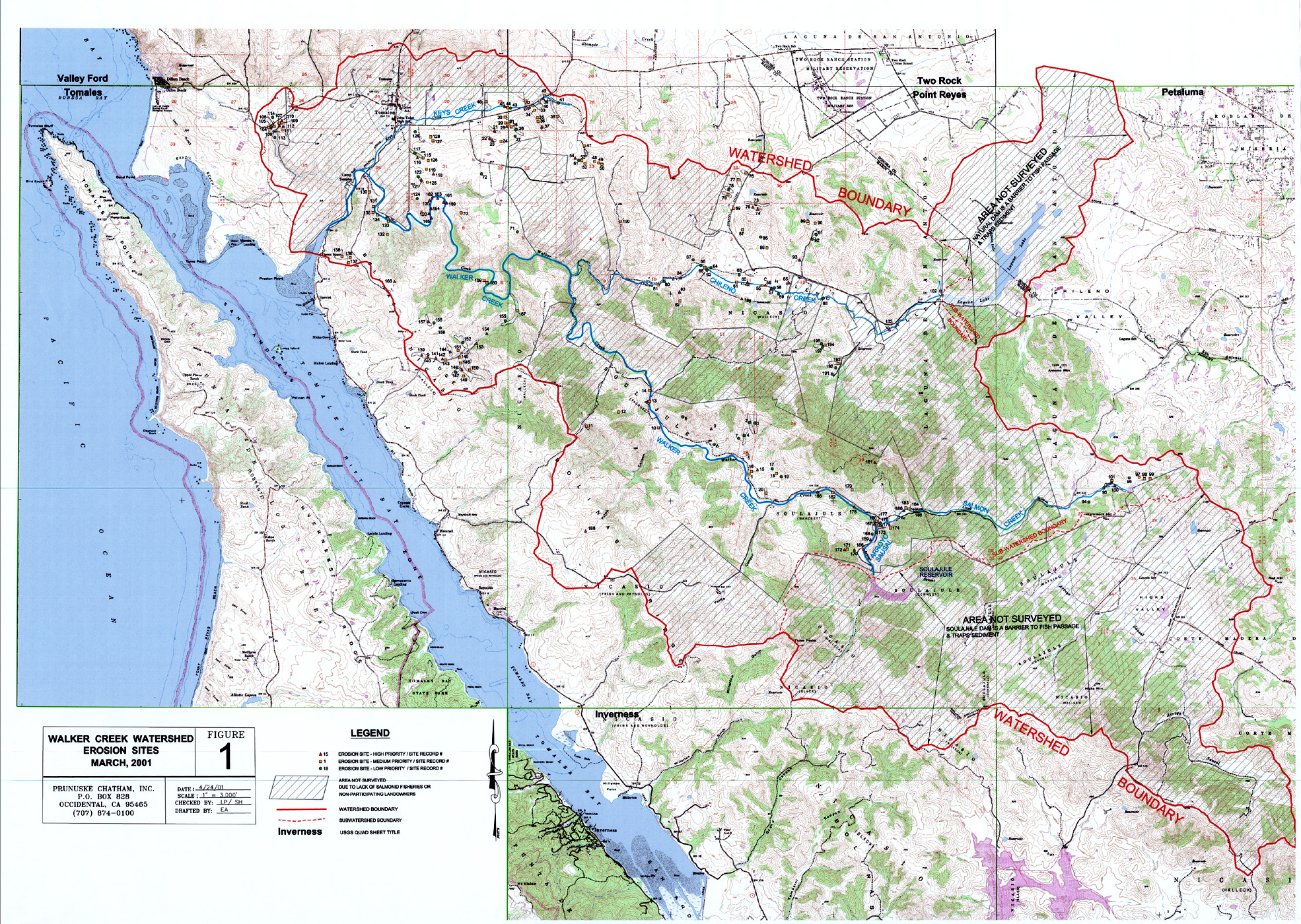
 Click on image to enlarge (159K). Click here to display a larger version (1,920K).
This map shows the results of an erosion site inventory for the Walker Creek watershed conducted during March, 2001. See sediment topics for summaries of the erosion information by sub-watershed. These data were collected for the Marin Resource Conservation District by Prunuske Chatham Inc. (PCI). The image was provided by PCI and can be found in PCI, 2001.
To learn more about this topic click Info Links
To view additional information (data source, aquisition date etc.) about this page, click Metadata

 Click on image to enlarge (144K). Click here to display a larger version (1,338K).
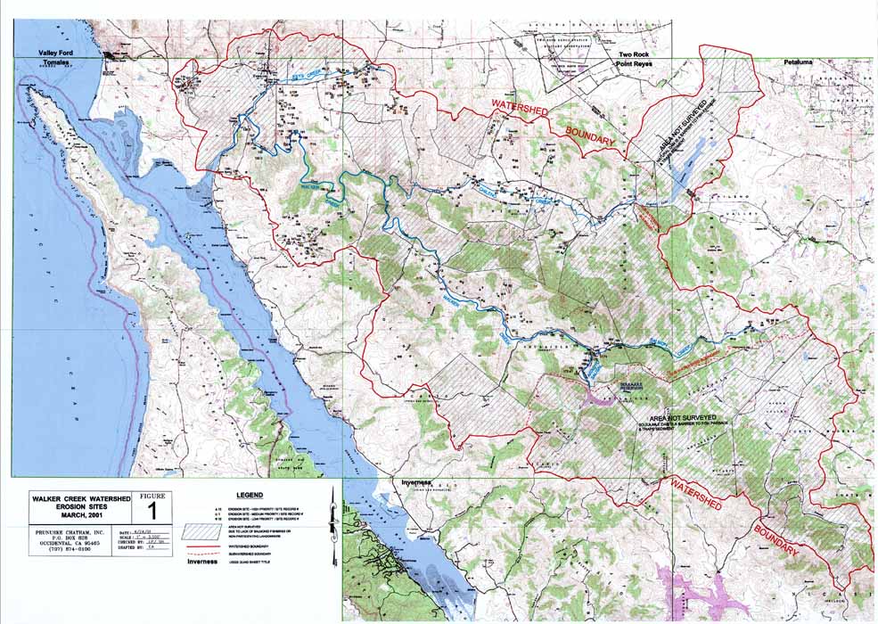 Click on image to enlarge (159K). Click here to display a larger version (1,920K).
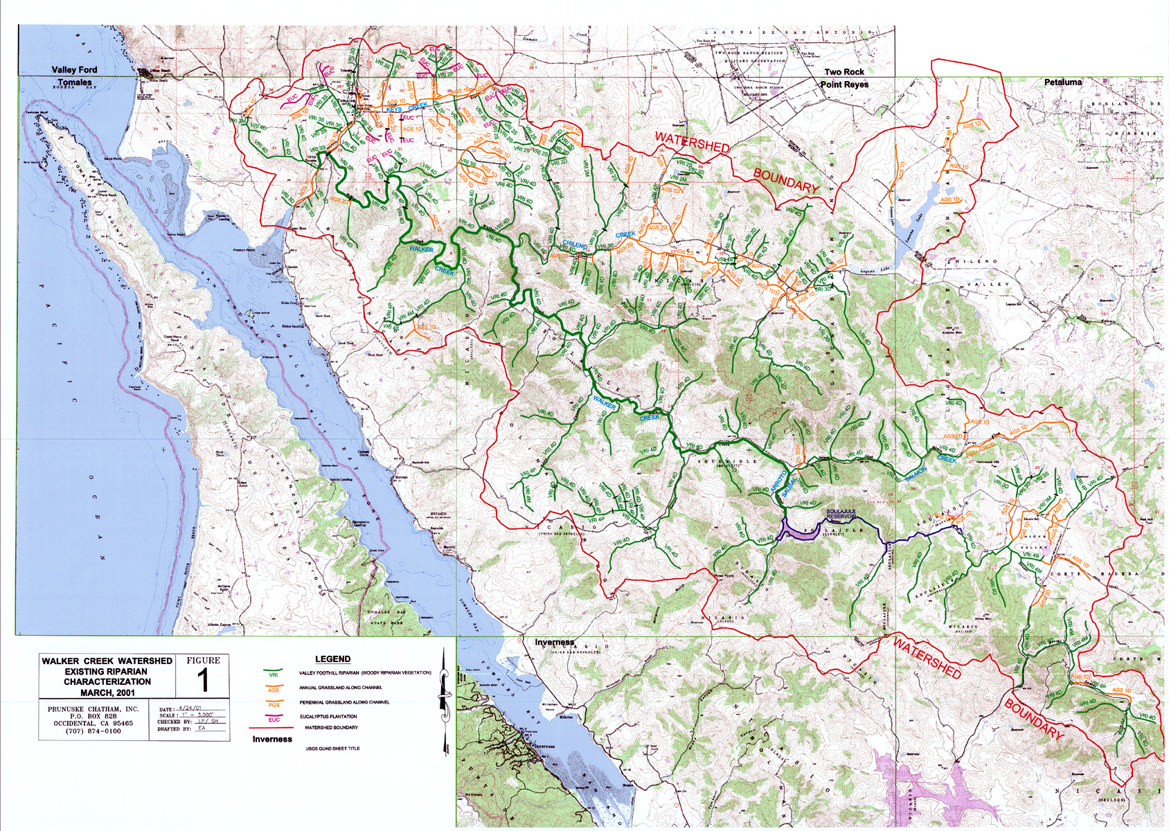