| Area |
Basinwide/Regional |
| Topic |
WQ: Aluminum in Lower Chamberlain Creek, 1996-2000 (DHS) |
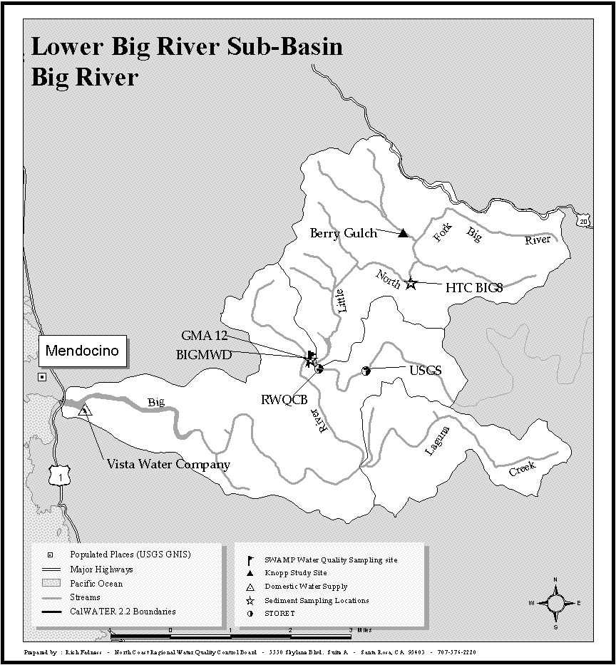
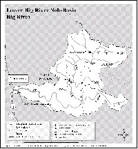 Click on image to enlarge (122K). Click here to display a larger version (224K).
Location map for the Vista Water Company water intake. The Vista Water Company is one of two California Department of Health Services sample sites in the Big River watershed. See the Source Table for sample data.
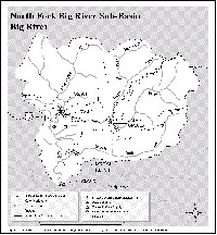 Click on image to enlarge (120K). Click here to display a larger version (213K).
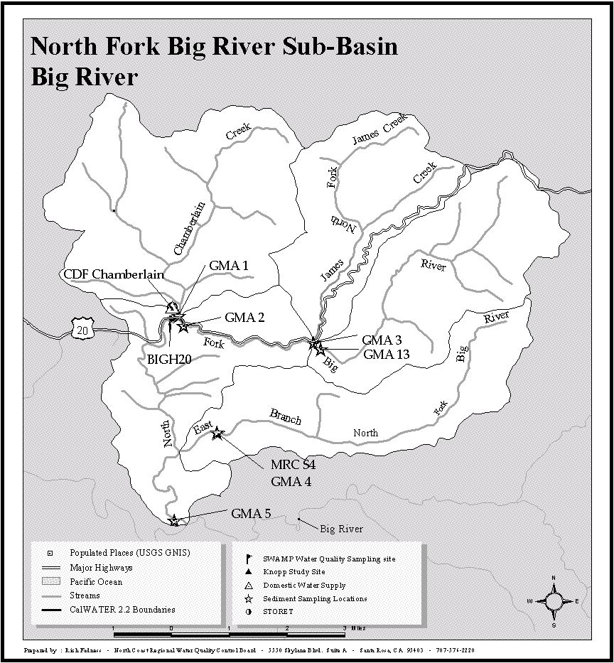
Location map for the CDF Chamberlain Creek Conservation Camp water intake. The Chamberlain Creek Conservation Camp is one of two California Department of Health Services sample sites in the Big River watershed. See the Source Table for sample data.
To learn more about this topic click here

 Click on image to enlarge (122K). Click here to display a larger version (224K).
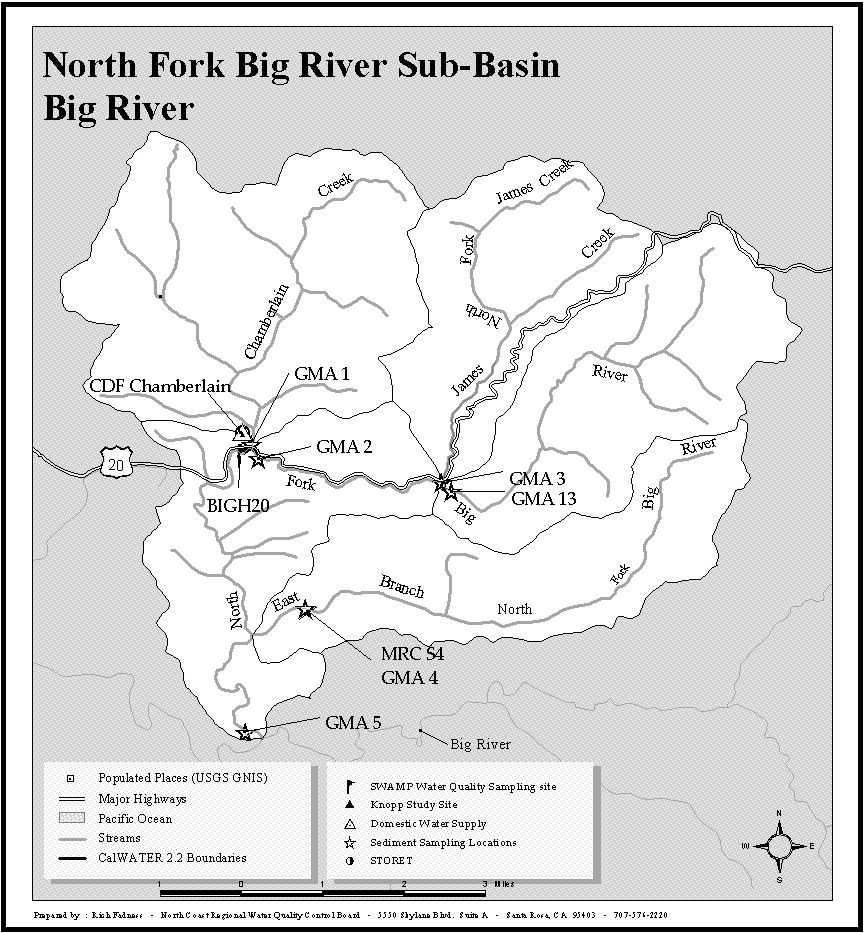 Click on image to enlarge (120K). Click here to display a larger version (213K).
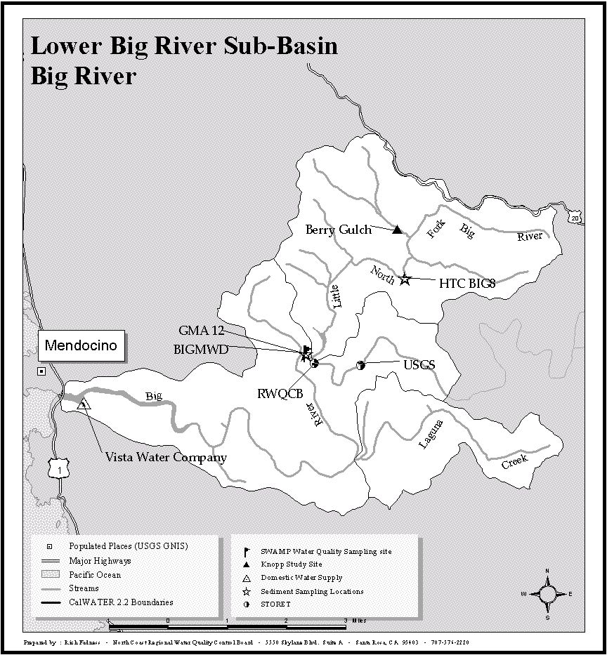