
| Area | Caspar Creek |
| Topic | Climate: Caspar Creek Peak Flow Data, 1963-1999 |
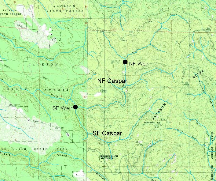
The map above shows the North and South Fork Caspar Creek weir locations in Jackson State Demonstration Forest. Data provided by USFS Redwood Sciences Lab.
 Click on image to enlarge (151K).
To learn more about this topic click here
| www.krisweb.com |