| Area |
Lower Big River |
| Topic |
Tour: Landsat/Aerial Photo Lower River Comparisons |
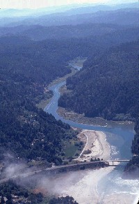 Click on image to enlarge (136K).
This photo shows the Highway 1 Bridge over Big River near the town of Mendocino and the estuary. Picture #2 shows a 1994 Landsat image of the lower Big River that covers the same view as this photo. Provided by David Russell.
 Click on image to enlarge (117K).
The Non-Forest in the lower center of the image is the town of Mendocino, the beach at the mouth of Big River. The tidal flats adjacent to the river show as Non-Forest up to the top of the image. The image also shows that riparian forests and forests in adjacent uplands are mostly in early seral stage as judged from diameter classes.
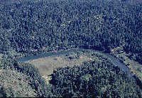
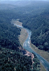 Click on image to enlarge (96K). Click here to display a larger version (163K).
This photo shows the lower Big River and estuary looking upstream about a mile above the mouth. Tidal flats indicated by Landsat also show clearly on this photo. Forest also looks very young in the photo particularly on the slope above the gravel quarry and behind the buffer on the opposite bank. Photo by David Russell.
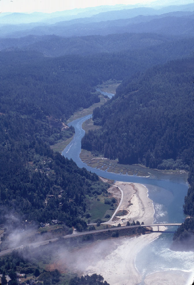
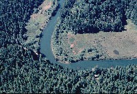 Click on image to enlarge (150K). Click here to display a larger version (275K).
This aerial photo showing lower Big River shows grassy pasture bordering the stream. The remnants of an old crib dam, which was used to catch floating logs, appears just below the bend to lower right of center in photo. Look at Picture #5 for a Landsat image of the same bend in the river. Photo by David Russell.
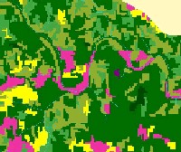 Click on image to enlarge (137K).
The bend in the lower Big River in the previous photo is the same feature as that in the middle of the Landsat vegetation map image above. The grassy wetlands show as Non-Forest and recent timber harvests shown in the upper part of the previous photo are the yellow patches (Saplings) behind the large tree buffer. Image from KRIS Big River Map project. Original data from USFS Spatial Analysis Lab, Sacramento, CA.
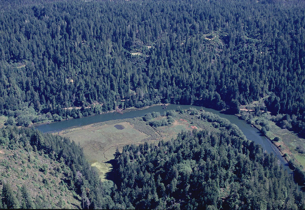
 Click on image to enlarge (153K). Click here to display a larger version (282K).
This photo is an opposite view of Picture #4 (big25.jpg) and also coincides with the previous Landsat image. Picture by David Russell.
 Click on image to enlarge (115K). Click here to display a larger version (309K).
To learn more about this topic click here

 Click on image to enlarge (136K).
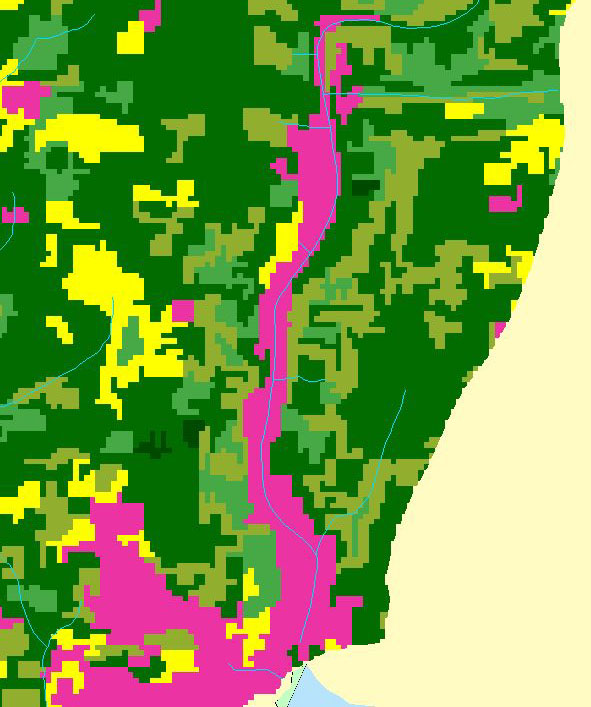 Click on image to enlarge (117K).
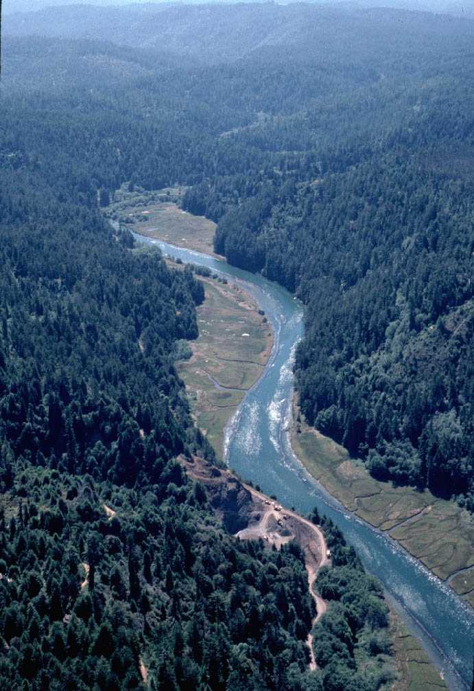 Click on image to enlarge (96K). Click here to display a larger version (163K).
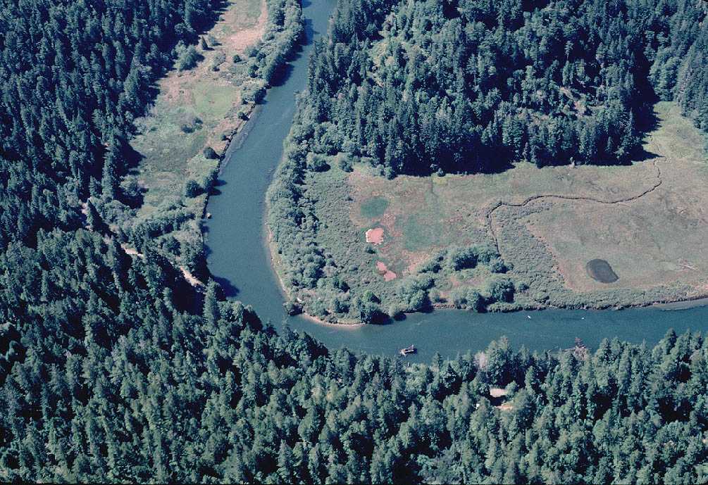 Click on image to enlarge (150K). Click here to display a larger version (275K).
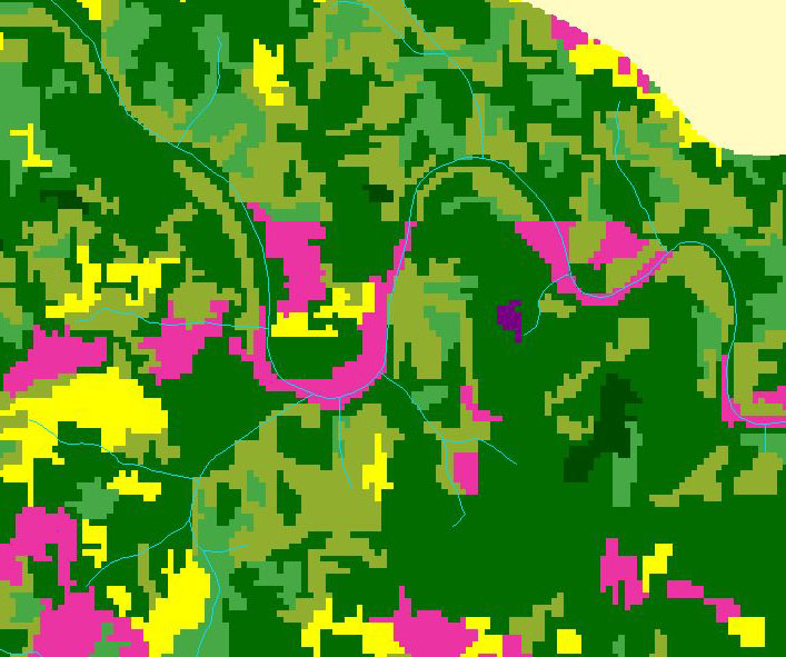 Click on image to enlarge (137K).
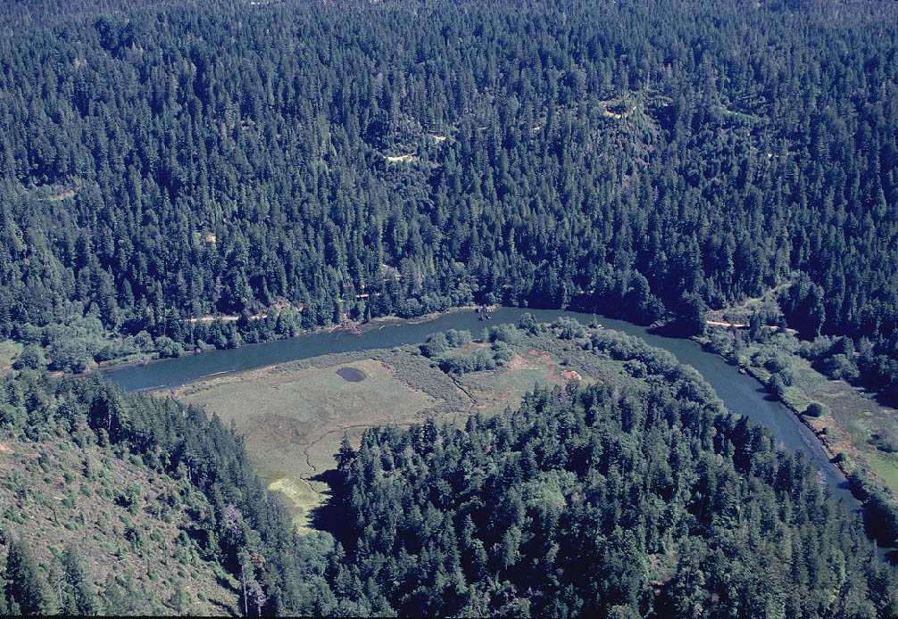 Click on image to enlarge (153K). Click here to display a larger version (282K).
 Click on image to enlarge (115K). Click here to display a larger version (309K).
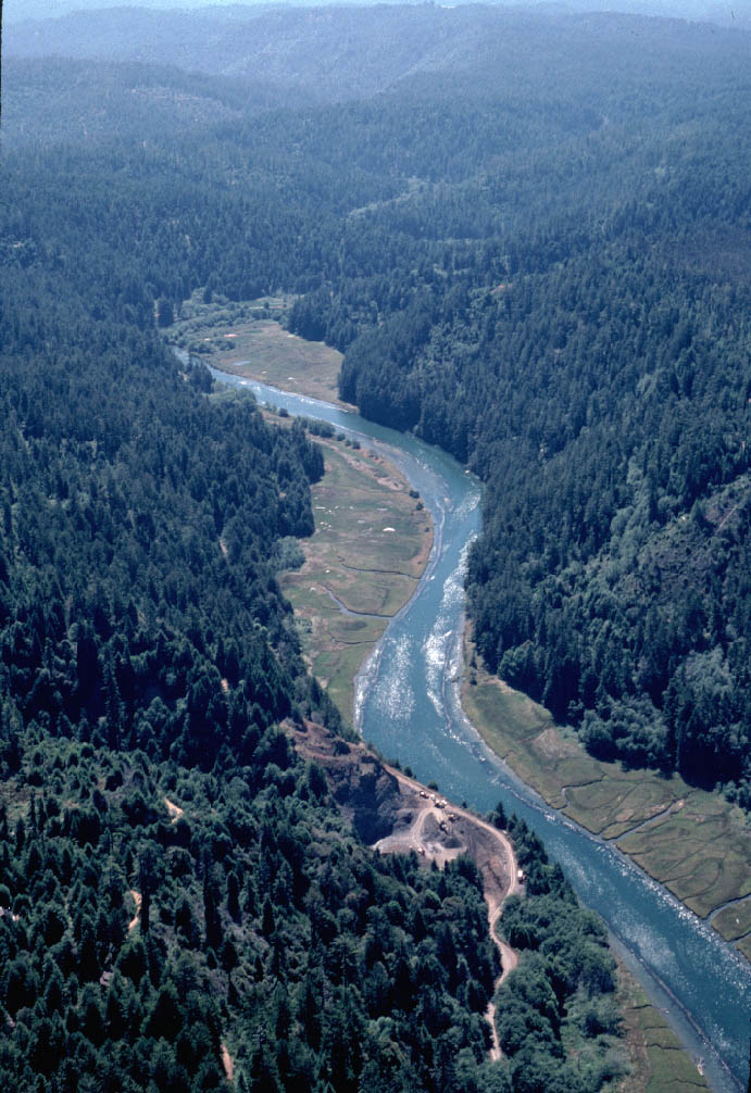