| Area |
Lower Big River |
| Topic |
Tour: Little NF Big River Streams, Roads and Erosion 1975 |
 Click on image to enlarge (123K). Click here to display a larger version (214K).
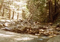
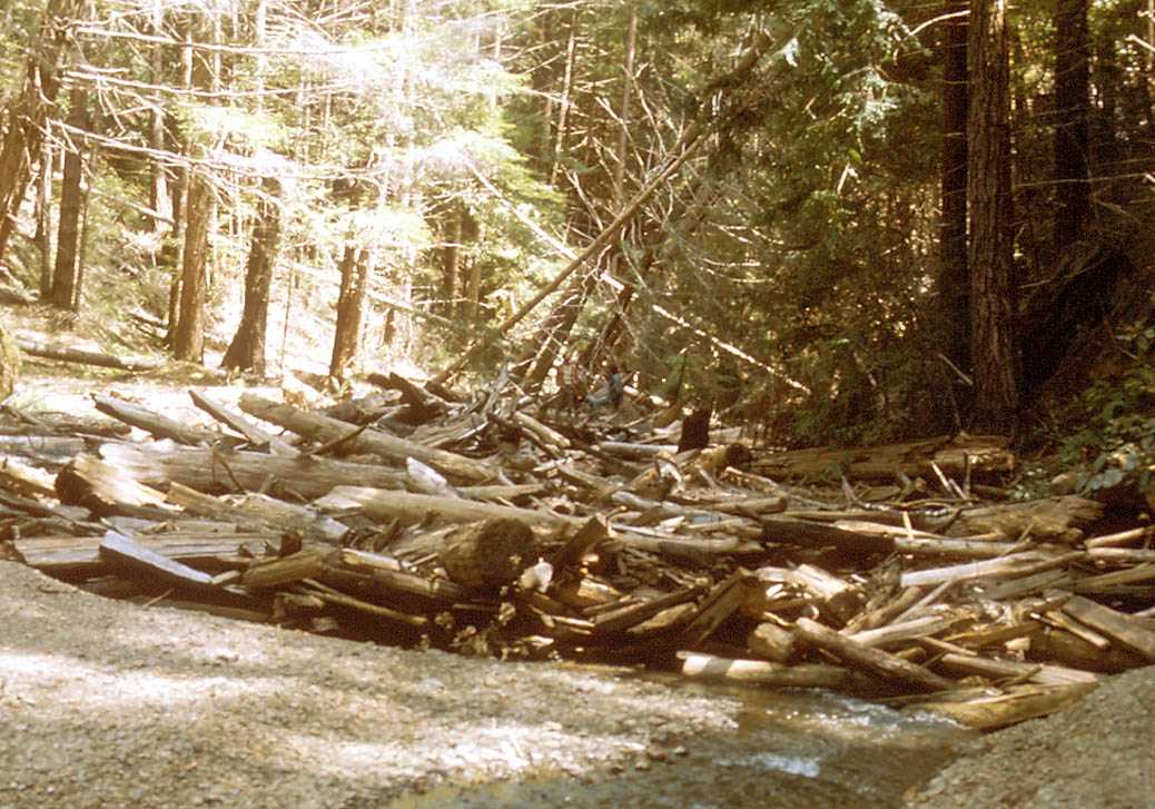
Logging debris jam on Little North Fork Big River in 1975. Considerable sediment is stored upstream of jam in foreground. Note two people in center of photo at a distance. Jackson State Forest. Photo courtesy of and # by Nicholas Wilson.
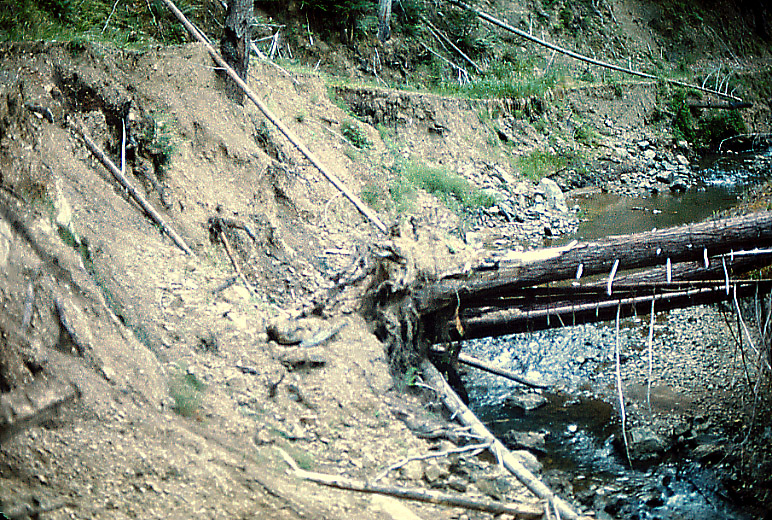
 Click on image to enlarge (103K). Click here to display a larger version (586K).
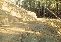
GP temporary haul road (left to right across center) pushed across stream bed (top to bottom) on tributary to East Branch Little North Fork Big River, to reach 160 acre old growth grove one mile south of Hwy. 20. Photo courtesy of and # by Nicholas Wilson. January 1975.
 Click on image to enlarge (60K). Click here to display a larger version (261K).
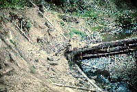
Slip out on haul road to 1975 Georgia Pacific old-growth THP on East Branch, Little North Fork of Big River, one mile south of Hwy. 20. Photo courtesy of and copyright by Nicholas Wilson. Photo taken in January 1975.
 Click on image to enlarge (102K). Click here to display a larger version (410K).
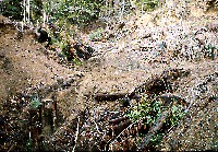
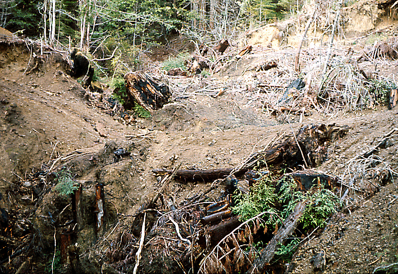
Streambank erosion on Little North Fork Big River. Erosion has taken out a streamside logging road, probably built on the historic logging railroad bed. Photo courtesy of and by Nicholas Wilson. Photo taken in 1975.
To learn more about this topic click here

 Click on image to enlarge (123K). Click here to display a larger version (214K).
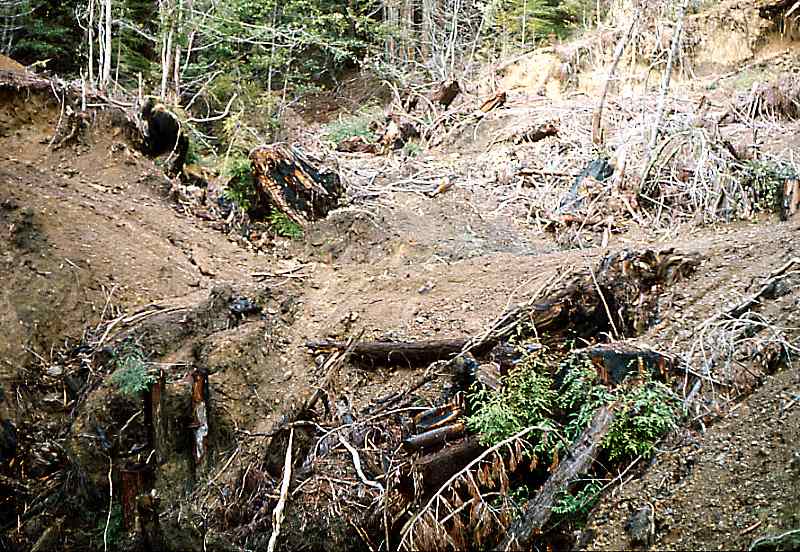 Click on image to enlarge (103K). Click here to display a larger version (586K).
 Click on image to enlarge (60K). Click here to display a larger version (261K).
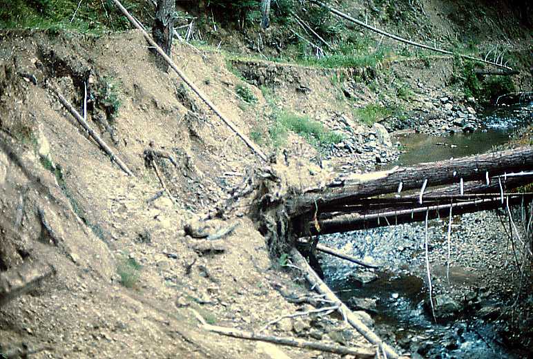 Click on image to enlarge (102K). Click here to display a larger version (410K).