| Area |
Lower Big River |
| Topic |
USFS VegTypes: Laguna Creek CalWater 1994 |
 Click on image to enlarge (121K). Click here to display a larger version (445K).
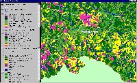
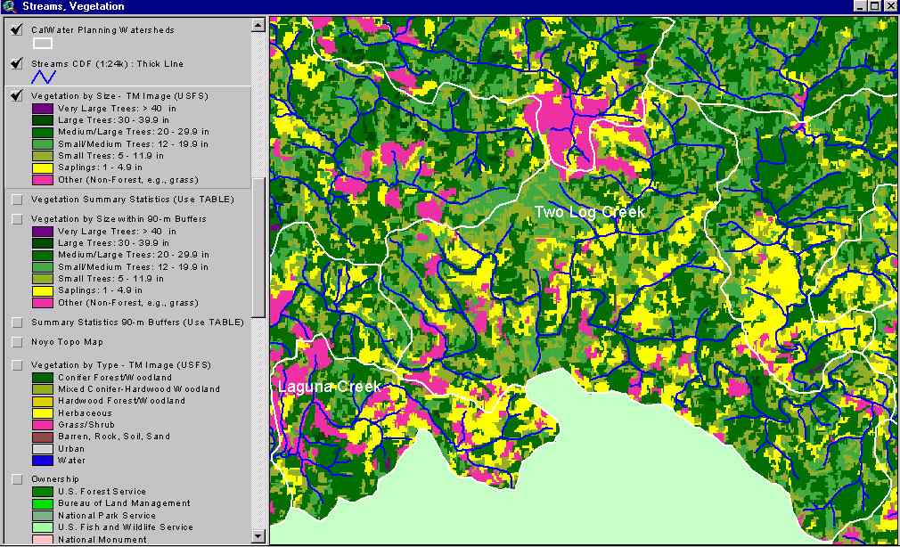
The image above shows USFS vegetation stand types for the Laguna Creek Calwater planning watershed (lower left) based on a 1994 Landsat image. The stand types are only accurate at the one-hectare scale. Patches of the basin show as Non-Forest and Saplings (<5" diameter trees), likely as a result of recent clear cuts. Young forest shows as Small and Small/Medium trees. See Info Links for more information. Taken from the KRIS Big River Map project.
 Click on image to enlarge (144K). Click here to display a larger version (267K).
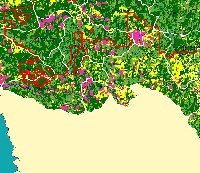
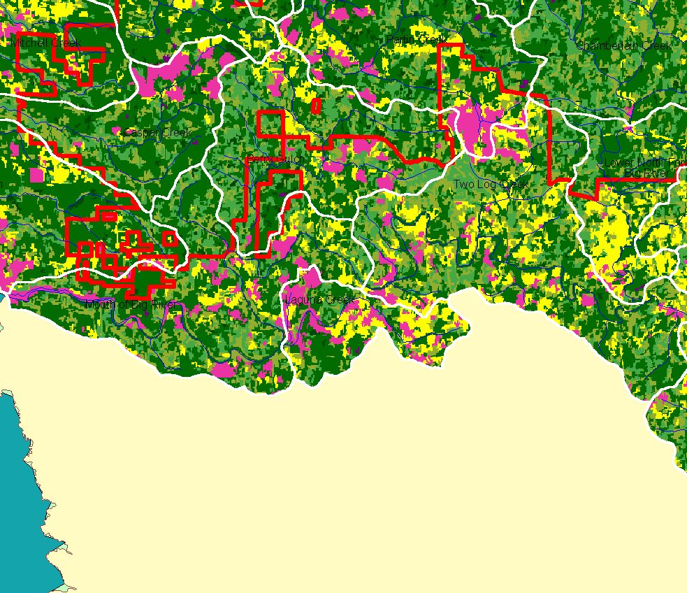
This map view from the KRIS Big River project shows the Laguna Calwater watershed (lower middle of image). The watershed is outside Jackson Demonstration State Forest, the boundary of which is shown. See the previous Picture for a key to colors representing forest size and vegetation types.
To learn more about this topic click here

 Click on image to enlarge (121K). Click here to display a larger version (445K).
 Click on image to enlarge (144K). Click here to display a larger version (267K).