
| Area | Middle Big River |
| Topic | Timber Harvest: Matthews Harvested Percent, Lower/Middle Big 1921-2000 |
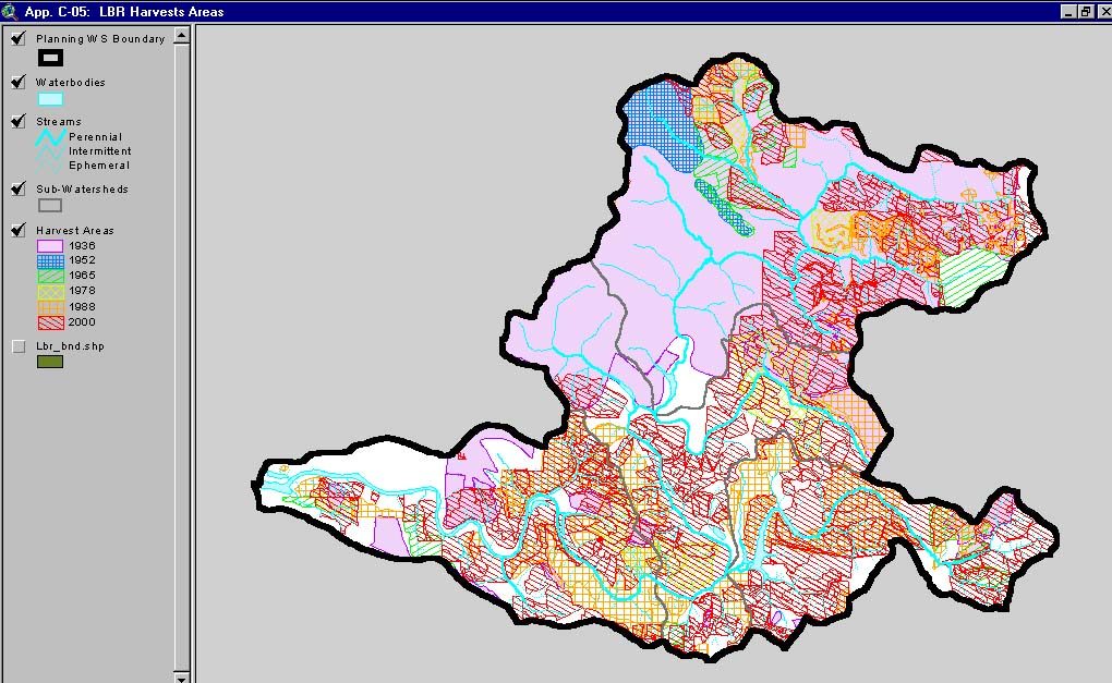
This image, from Matthews and Associates (2001) Appendix C-5, shows harvest areas by period in the Lower Big River Planning Watershed. This Planning Watershed includes the western portion of the Lower Big River CalWater basin and the Little North Fork CalWater basin. Note that the Little North Fork was almost entirely cut-over previous to 1936.
This image, from Matthews and Associates (2001) Appendix C-4, shows harvest areas by period in the Middle Big River Planning Watershed. This Planning Watershed includes the eastern portion of the Lower Big River CalWater basin.
 Click on image to enlarge (180K).
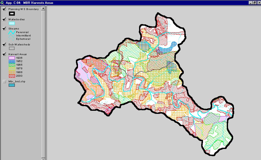 Click on image to enlarge (148K).
To learn more about this topic click here
| www.krisweb.com |