
| Area | North Fork Big River |
| Topic | Sediment: Matthews Road Locations for NF Basins 2000 |
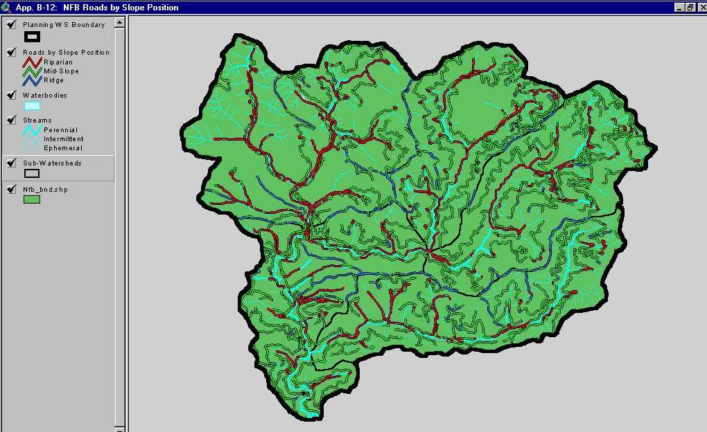
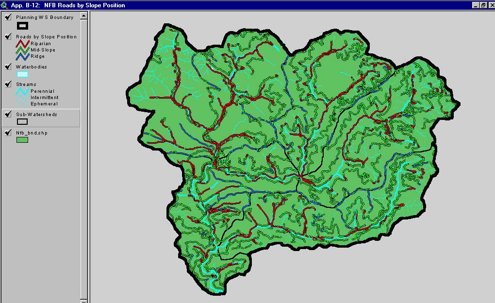
This image, from Matthews and Associates (2001) Appendix B-12, shows road slope positions in the North Fork Big River Planning Watershed. The North Fork Big River Planning Watershed is the North Fork CalWater sub-basin.
 Click on image to enlarge (97K). Click here to display a larger version (184K).
To learn more about this topic click here
www.krisweb.com