
| Area | North Fork Big River |
| Topic | Sediment: Matthews Erosion Surface from NF Harvest Areas 1921-2000 |
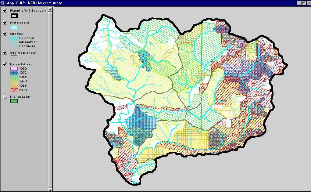
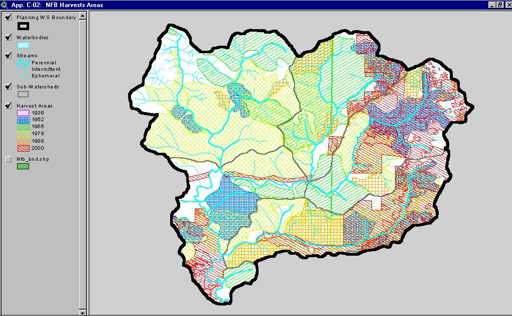
This image, from Matthews and Associates (2001) Appendix C-2, shows harvest areas by period in the North Fork Big River Planning Watershed. This Planning Watershed is the North Fork Big River CalWater basin.
 Click on image to enlarge (108K). Click here to display a larger version (213K).
To learn more about this topic click here
www.krisweb.com