
| Area | South Fork Big River |
| Topic | Sediment: Gravel Permeability from Ramon Creek 2000 |
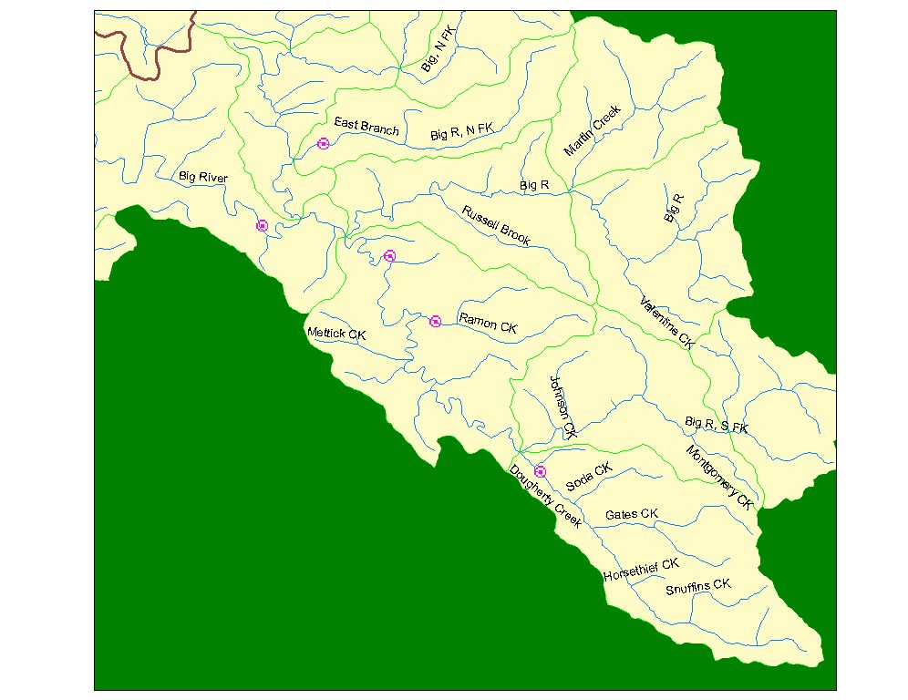
The image mrcbig_sed.jpg shows the location of five reaches in the Big River where the Mendocino Redwood Company has measured channel shape, substrate particle size distribution, and gravel permeability. The reaches are 30 bankfull channel widths in length, extending upstream from the mapped points. Point coverage was provided by MRC. Image from KRIS Maps.
The image Garcia2.jpg is provided here to illustrate how gravel permeability measurements are taken on the same transect as McNeil samplers. The stream is in the Garcia River, but the equipment is similar to that used by MRC in the Big River. Both the backpack permeability measurement unit and the McNeil sampler are in place in the photo. Photo courtesy of McBain and Trush.
 Click on image to enlarge (110K).
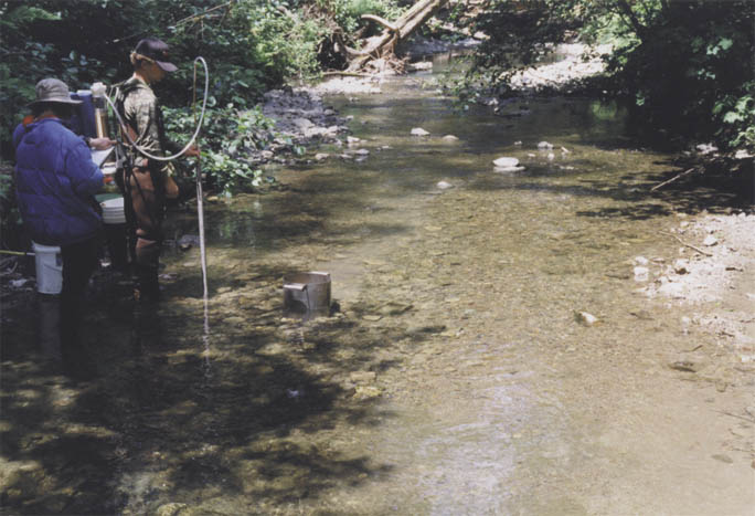 Click on image to enlarge (72K).
To learn more about this topic click here
| www.krisweb.com |