
| Area | South Fork Big River |
| Topic | Temperature: Floating Weekly Average of Montgomery Creek |
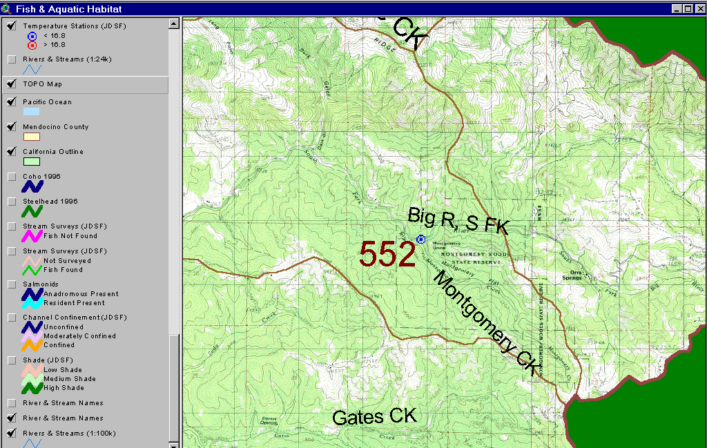
The image above is from the KRIS Big River Map project and shows a water temperature monitoring site on Montgomery Creek on the upper South Fork Big River. Monitored by Jackson Demonstration State Forest in cooperation with CA State Parks. Location symbols shown in red indicate that the maximum floating weekly average water temperature (MWAT) at that site exceeded 16.8 C in at least one year. Sites shown in blue indicate that the MWAT of 16.8 C was not exceeded in any period of record.
 Click on image to enlarge (308K).
To learn more about this topic click here
| www.krisweb.com |