| Area |
South Fork Big River |
| Topic |
Tour: Watershed Photos of South Fork May 2001 |
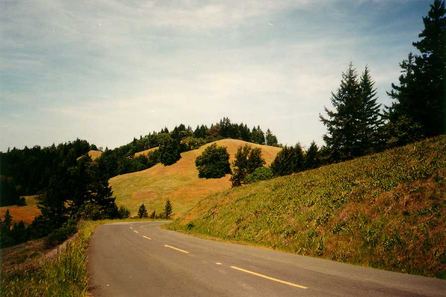
 Click on image to enlarge (56K). Click here to display a larger version (171K).
Top of the South Fork Big River watershed on the Comptche-Ukiah Road at the divide with the Russian River drainage looking north. Photo by Bill Lydgate. May 2001.
 Click on image to enlarge (98K). Click here to display a larger version (283K).
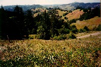
Wild iris mixed with grasses and other wild flowers grow in the foreground. The interspersed pattern of forest and grass land is in part as a result of differing bedrock geology. Coastal Belt Franciscan to the west is generally forested, while Central Belt Franciscan terrain has grasslands and oak woodlands. Looking northwest. Photo by Bill Lydgate. May 2001.
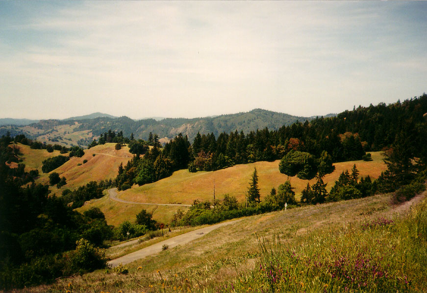
 Click on image to enlarge (57K). Click here to display a larger version (163K).
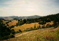
Grasslands dominate the upper South Fork Big River watershed with forests in patches along ridges and in swales. Photo by Bill Lydgate. May 2001.
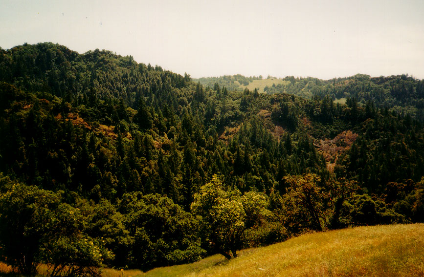
 Click on image to enlarge (64K). Click here to display a larger version (186K).
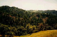
Looking south off Comptche-Ukiah Road just up from Orr Hot Springs. Hillsides are covered with a mixed conifer and hardwoods with some bedrock upcrops. Grasslands characteristic of Central Belt Franciscan show in the foreground. Photo by Bill Lydgate. May 2001.
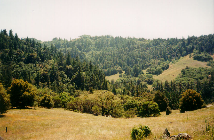
 Click on image to enlarge (64K). Click here to display a larger version (174K).
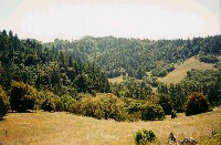
Grasslands and mixed conifer and hardwood forests in the upper South Fork Big River watershed. Photo by Bill Lydgate. May 2001.

 Click on image to enlarge (56K). Click here to display a larger version (171K).
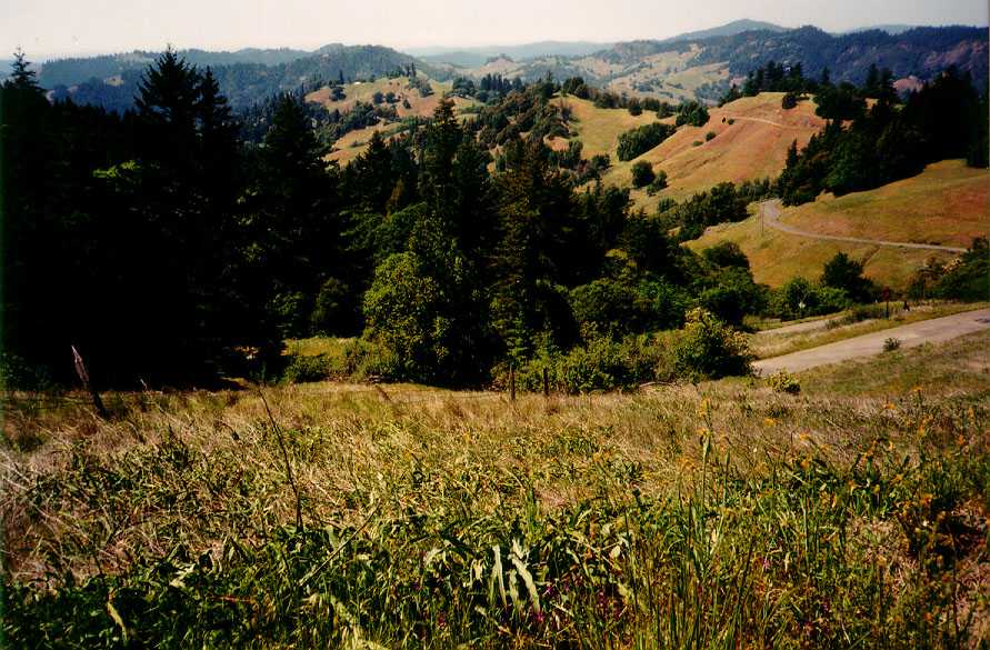 Click on image to enlarge (98K). Click here to display a larger version (283K).
 Click on image to enlarge (57K). Click here to display a larger version (163K).
 Click on image to enlarge (64K). Click here to display a larger version (186K).
 Click on image to enlarge (64K). Click here to display a larger version (174K).