| Area |
South Fork Big River |
| Topic |
USFS VegTypes: Mettick Creek CalWater 1994 |
 Click on image to enlarge (117K). Click here to display a larger version (413K).
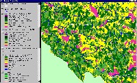
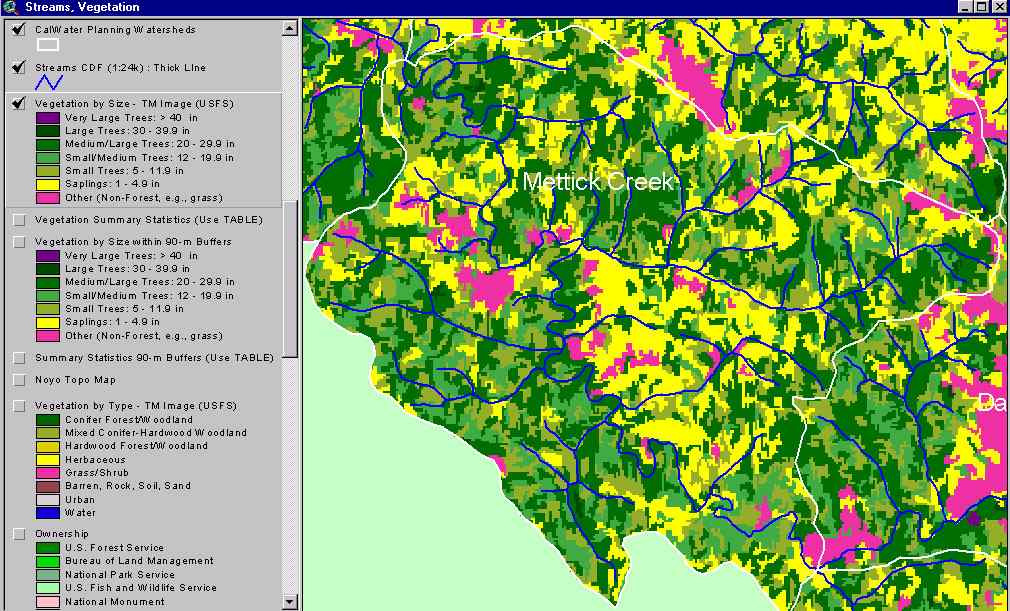
The image above shows USFS vegetation stand types for the Mettick Creek Calwater planning watershed based on a 1994 Landsat image. The stand types are only accurate at the one-hectare scale. See Info Links for more information. Taken from the KRIS Big River Map project.
 Click on image to enlarge (144K). Click here to display a larger version (263K).
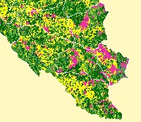
This map view from the KRIS Big River project shows the Leonaro Lake Calwater watershed but also those to the west, north and south. See the previous Picture for a key to colors representing forest size and vegetation types.
 Click on image to enlarge (174K).
The image above comes from the KRIS Big River Map project and shows changes in vegetation between 1994 and 1998 according to CDF FRAP change scene detection. Not much of the South Fork Big River watershed experienced appreciable loss of canopy except for the western Mettick Creek CalWater.
To learn more about this topic click here

 Click on image to enlarge (117K). Click here to display a larger version (413K).
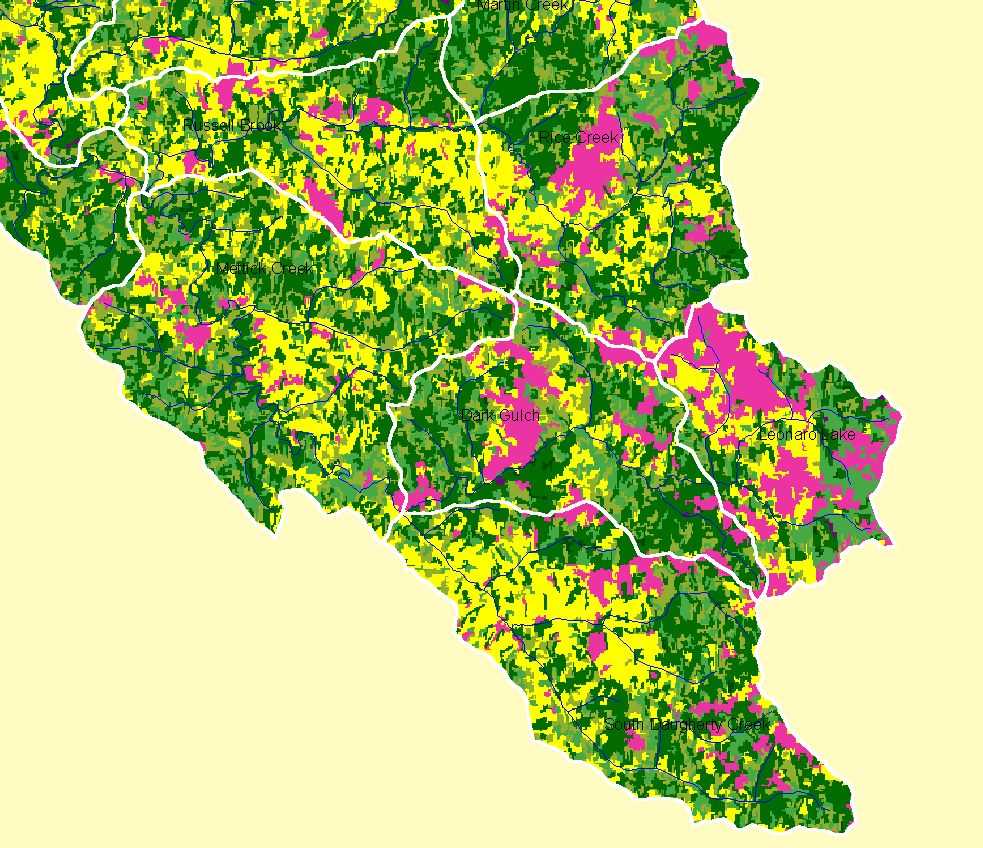 Click on image to enlarge (144K). Click here to display a larger version (263K).
 Click on image to enlarge (174K).
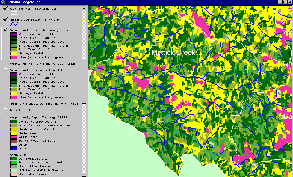