| Area |
Upper Big River |
| Topic |
Temperature: Floating Weekly Average, Martin Creek (Upper Big) 1997-98 |
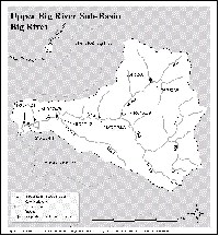 Click on image to enlarge (112K). Click here to display a larger version (207K).
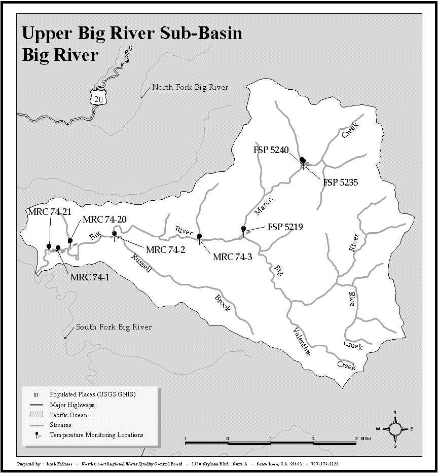
This map includes water temperature monitoring locations in the Upper Big River Sub-basin for all NCWAP data contributors. The boundaries of the sub-basin are the same as for Matthews 2001. See Picture 2 for an image of land ownership.
 Click on image to enlarge (91K). Click here to display a larger version (156K).
This map, from Matthews and Associates (2001), shows major landowners in the Big River watershed. Sub-basins are Matthews Planning Watersheds.
To learn more about this topic click here

 Click on image to enlarge (112K). Click here to display a larger version (207K).
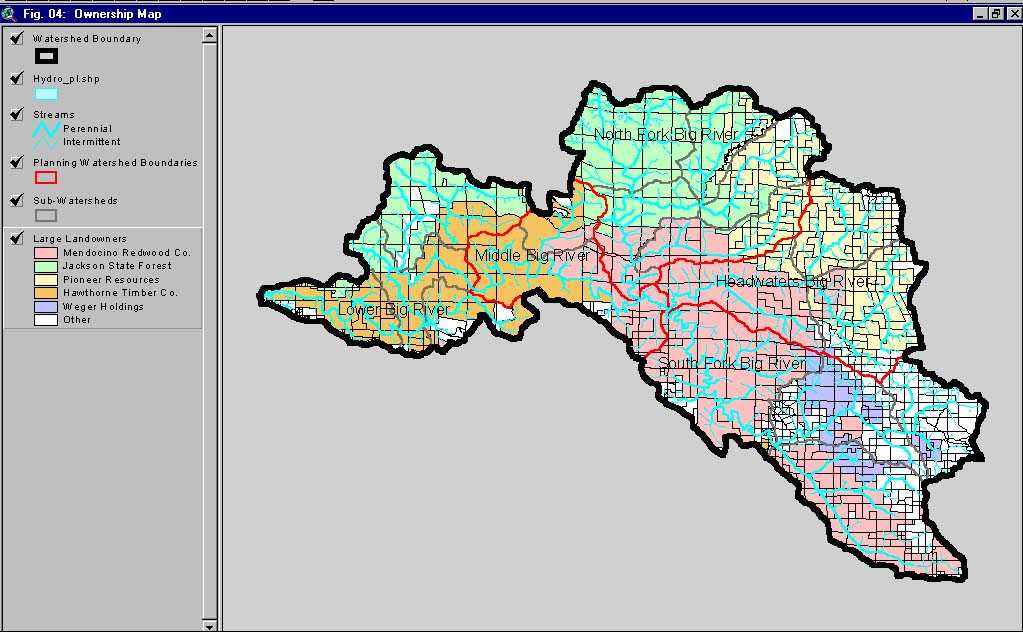 Click on image to enlarge (91K). Click here to display a larger version (156K).
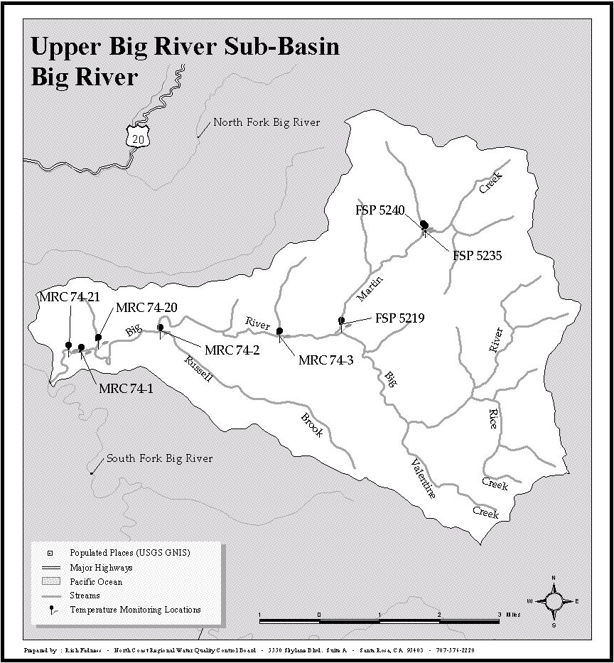