| Area |
Upper Big River |
| Topic |
Temperature: Min, Max and Average (F), Upper Big River, 1998 |
 Click on image to enlarge (112K). Click here to display a larger version (207K).
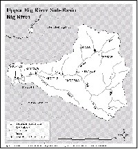
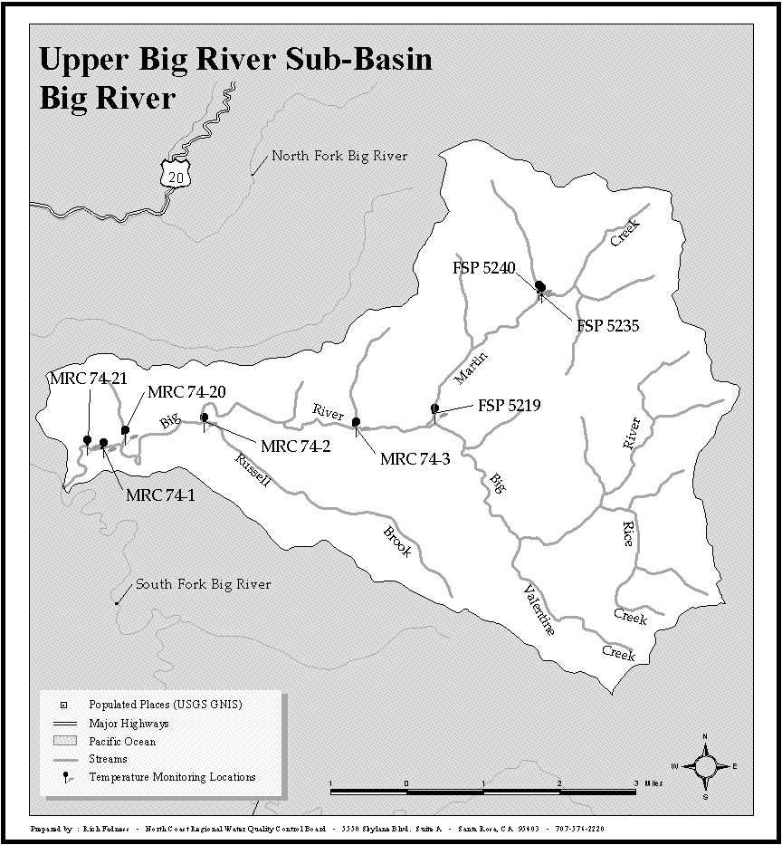
This map includes water temperature monitoring locations in the Upper Big River Sub-basin for all NCWAP data contributors. The boundaries of the sub-basin are the same as for Matthews 2001. See Picture 2 for a map of land ownership.
 Click on image to enlarge (91K). Click here to display a larger version (156K).
This map of land ownership in the Big River basin comes from Matthews 2001.
To learn more about this topic click here

 Click on image to enlarge (112K). Click here to display a larger version (207K).
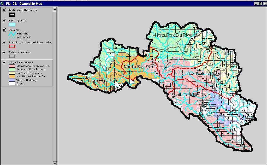 Click on image to enlarge (91K). Click here to display a larger version (156K).
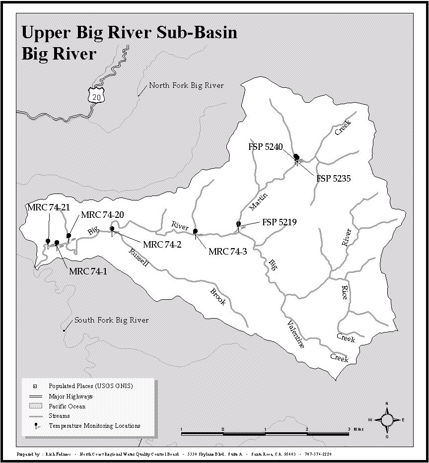