| Area |
Upper Big River |
| Topic |
USFS VegTypes: Russell Brook CalWater 1994 |
 Click on image to enlarge (100K). Click here to display a larger version (445K).
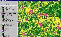
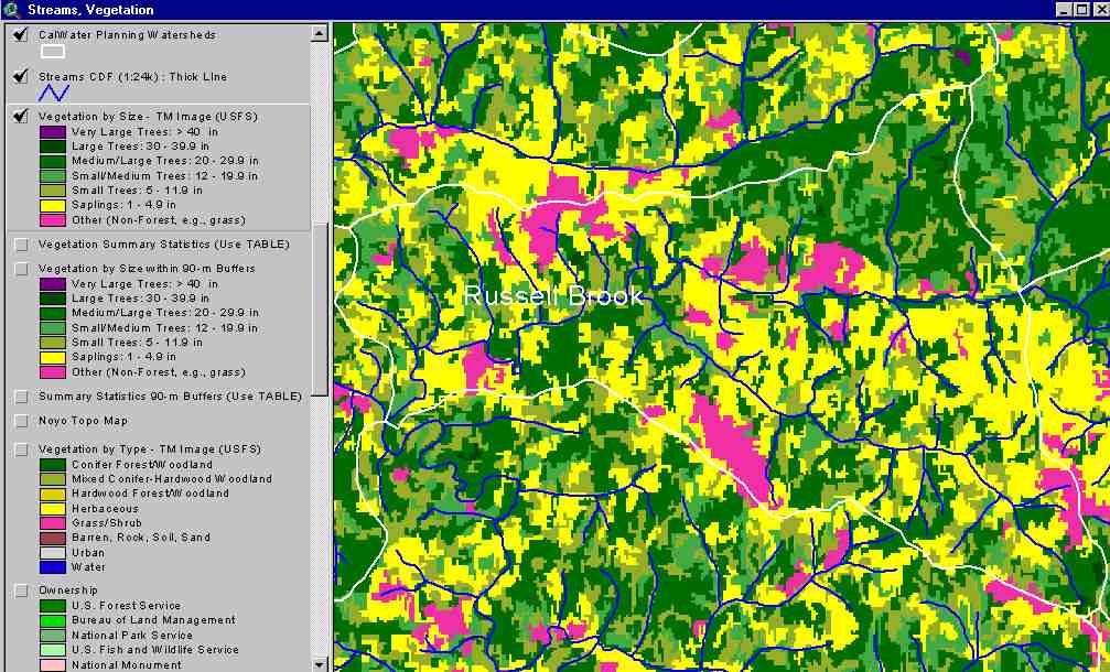
The image above shows USFS vegetation stand types for the Russell Brook Calwater planning watershed (lower left) based on a 1994 Landsat image. The stand types are only accurate at the one-hectare scale. More than 60% of this Calwater has trees less than 12 inches in diameter as of 1994. See Info Links for more information. Taken from the KRIS Big River Map project.
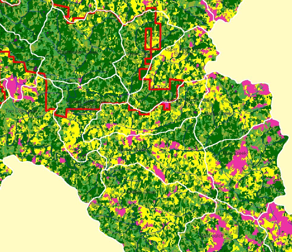
 Click on image to enlarge (185K). Click here to display a larger version (364K).
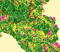
This map view from the KRIS Big River project shows the Russell Brook Calwater watershed. The watershed is outside Jackson Demonstration State Forest, the boundary of which is shown. See the previous Picture for a key to colors representing forest size and vegetation types.
To learn more about this topic click here

 Click on image to enlarge (100K). Click here to display a larger version (445K).
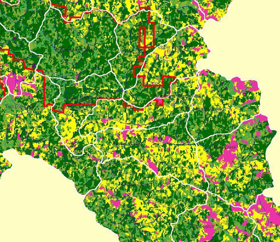 Click on image to enlarge (185K). Click here to display a larger version (364K).
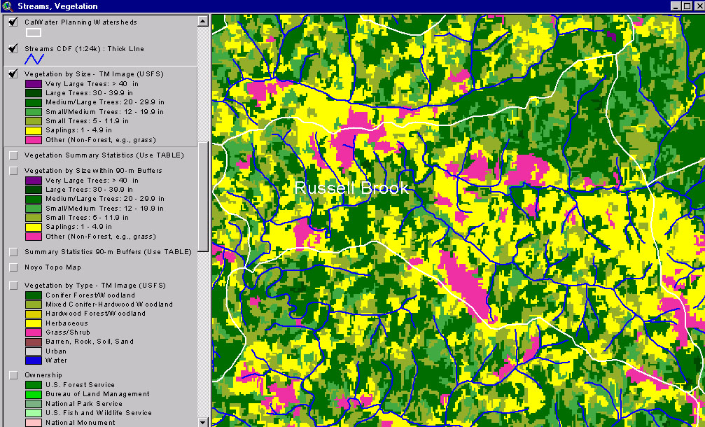