|
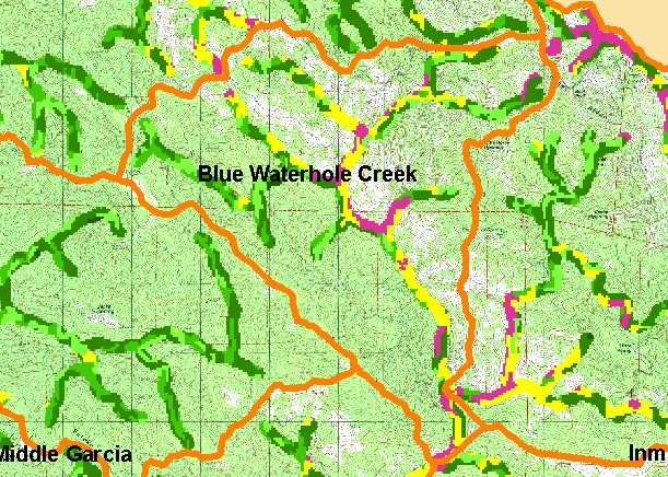
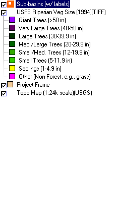
This is a map of vegetation size data within 90-meter riparian buffer zones in the Blue Waterhole Creek sub-basin with a U.S.
Geologic Survey topographic map as a backdrop. The tree size classifications were derived from Landsat multi-spectral images
taken in 1994. Stand conditions are accurately represented at the one hectare scale. The small diameter tree size and non-forest
conditions in the riparian are partially owing to the band of grasslands, which crosses the middle of the watershed (white areas on
USGS Topo). Early seral riparian conditions may also reflect recent timber harvest, where smaller diameter trees occur and there
is no indication of adjacent meadow areas. Data were provided by the U.S. Forest Service Pacific Southwest Region Remote
Sensing Lab, in cooperation with the California Department of Forestry. Available layers include Vegetation Size, Grayscale
Hillshade, and Change in Vegetation (1994-1998). Scale = 1:60,148 .
|
|