
|
Area/Topic | Bibliography | Background | Hypotheses | Home |
|
Map Page.
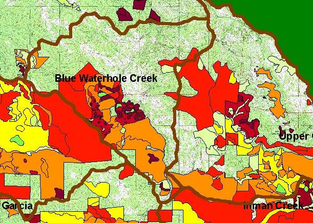
You selected the area Blue Waterhole Creek and the topic Map: 1G Timber Harvest 1987-2002, Blue Waterhole Sub-basin |
| This is a map of timber harvests permitted by the California Department of Forestry (CDF) in the Blue Waterhole sub-basin between 1987 and 2002. The southwestern third of the watershed had harvests permitted in this period, but some were selective cuts, not clear cuts. Data were provided by the California Department of Forestry, Santa Rosa. Scale = 1:65,027 . | |||
|
|
||
To view metadata about a map layer, click on a link in the table below.
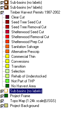
| Name of Layer in Map Legend | Metadata File Name |
|---|---|
| Sub-basins (no labels) | subbasins.shp.txt |
| Sub-basins (w/ labels) | subbasins.shp.txt |
| Change in Vegetation (1994-98)(TIFF) | vegchg.tif.txt |
| Timber Harvest Permits 1987-2002 | silvicul87_01.shp.txt |
| USFS Riparian Veg Size (1994)(TIFF) | vegsizebuf.tif.txt |
| USFS Vegetation Size (1994)(TIFF) | vegsize.tif.txt |
| Sub-basins (no labels) | subbasins.shp.txt |
| Project Frame | Unavailable |
| Topo Map (1:24k scale)(USGS) | Unavailable |
| Grayscale Hillshade (TIFF) | grayscale_light.tif.txt |
| Project Background | Unavailable |
| www.krisweb.com |