
|
Area/Topic | Bibliography | Background | Hypotheses | Home |
|
Map Page.
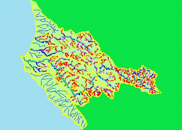
You selected the area Basin-wide/General and the topic Map: 2A Stream Gradient, Garcia Project Area |
| This is a map of the 1:24,000 stream gradient in the KRIS Garcia project area, overlaid on top of 1:24,000 hydrography. Anadromous fish prefer low-gradient habitat. Most of the low-gradient habitat (<4%) in the project area is in the mainstem Garcia River and other larger tributaries. Many small, headwater tributaries have a high-gradient. Ten meter DEM data, on which the stream gradient was based, were provided by the California Department of Forestry. | |||
|
|
||
To view metadata about a map layer, click on a link in the table below.
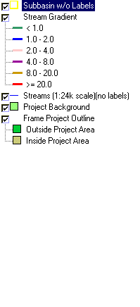
| Name of Layer in Map Legend | Metadata File Name |
|---|---|
| Subbasin w/o Labels | subbasins.shp.txt |
| Stream Gradient | stms24grad.shp.txt |
| Streams (1:24k scale)(no labels) | streams24.shp.txt |
| Project Background | Unavailable |
| Topo Map (1:24k scale)(USGS) | Unavailable |
| Grayscale Hillshade | grayscale_light.tif.txt |
| Frame Project Outline | Unavailable |
| www.krisweb.com |