|
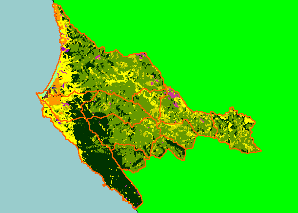
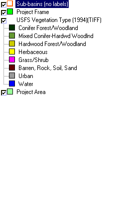
This is a map of 1999 vegetation type data in the KRIS Garcia project area, overlaid on top of KRIS sub-basins. The vegetation
type classifications were derived from Landsat multi-spectral images. Stand conditions are accurately represented at the one
hectare scale. Herbaceous and Grass/Shrub signatures in the west delineate the coastal plain, whereas those in the east are
indicative of grasslands and oak woodlands along ridges. The mature conifer forest area would extend somewhat further to the
east, except that timber harvest has changed the forest type to Mixed Hardwood/Conifer and Hardwood Forest. Data were
provided by the U.S. Forest Service Pacific Southwest Region Remote Sensing Lab, in cooperation with the California Department
of Forestry.
|
|